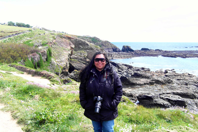
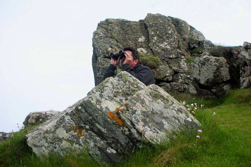
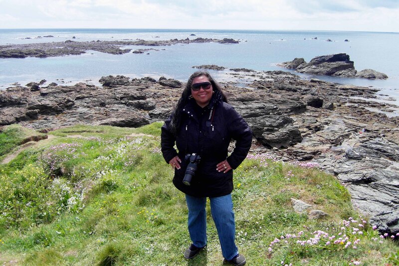
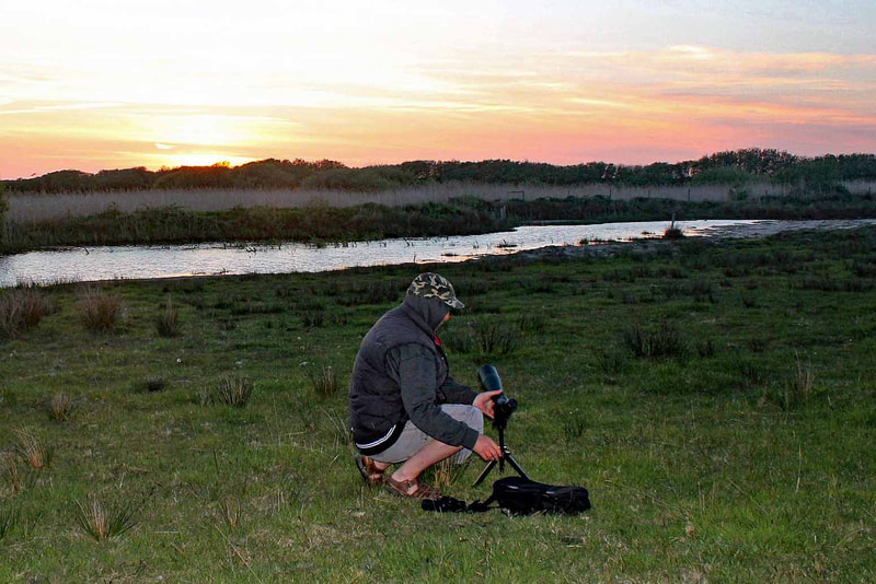
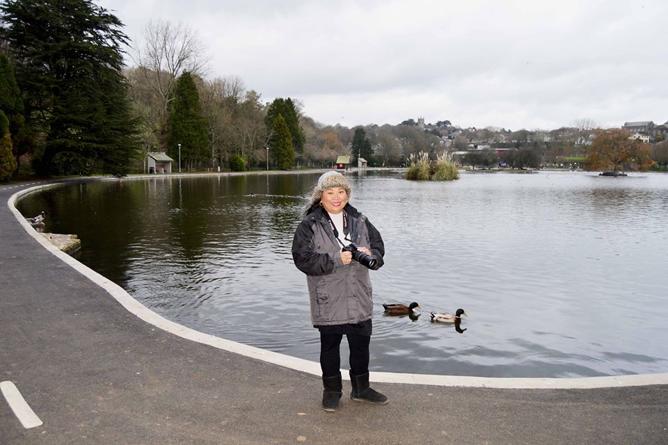
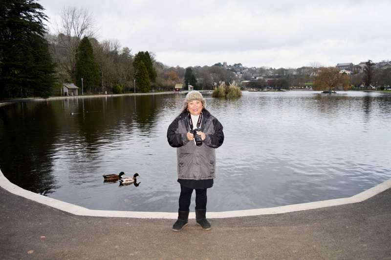
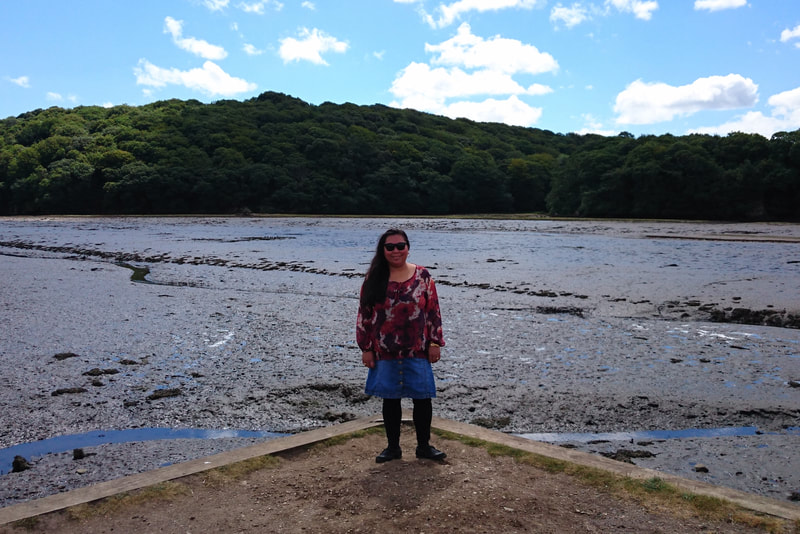
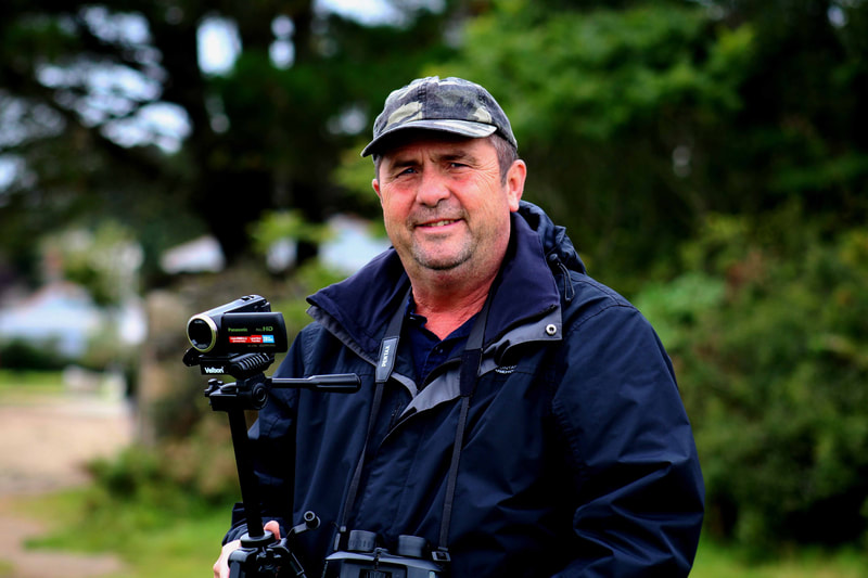
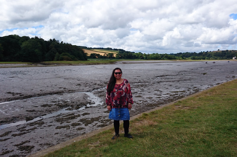
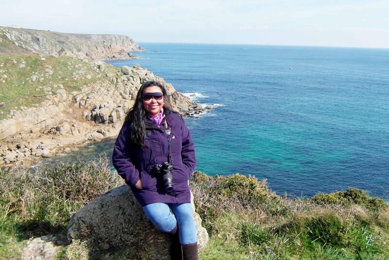
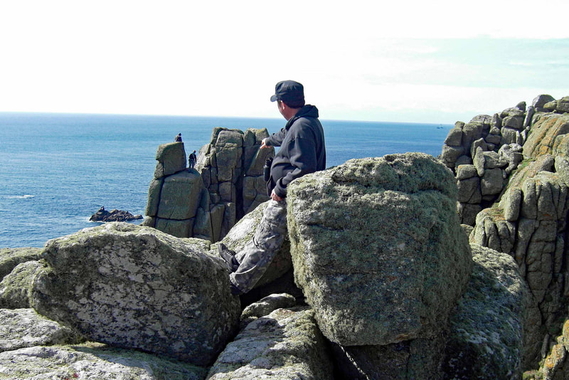
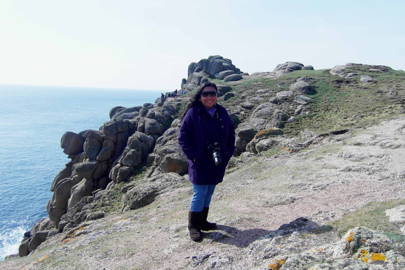
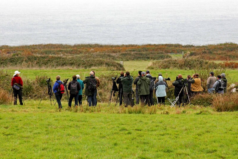
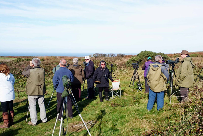
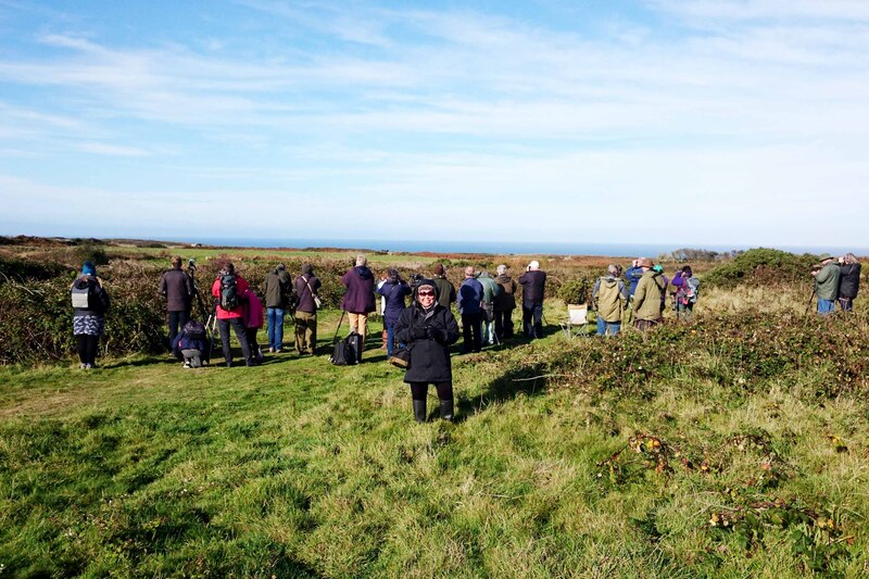
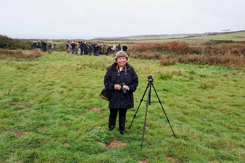
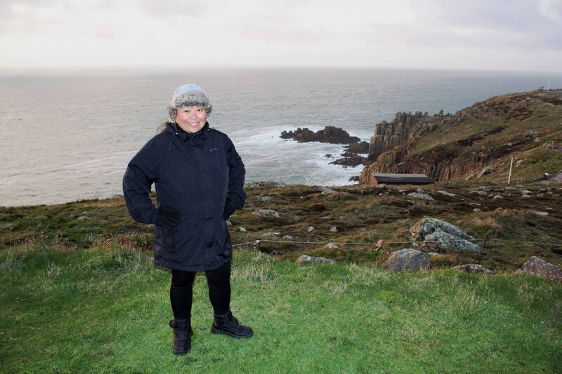
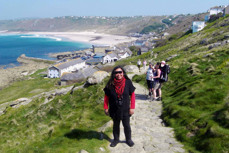
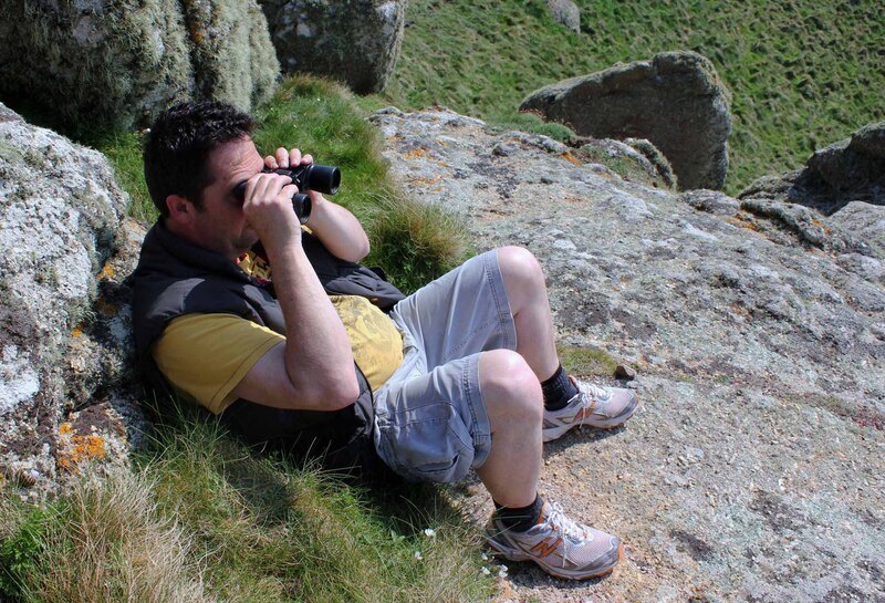
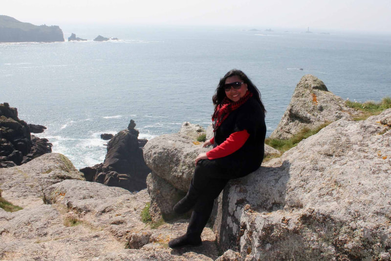
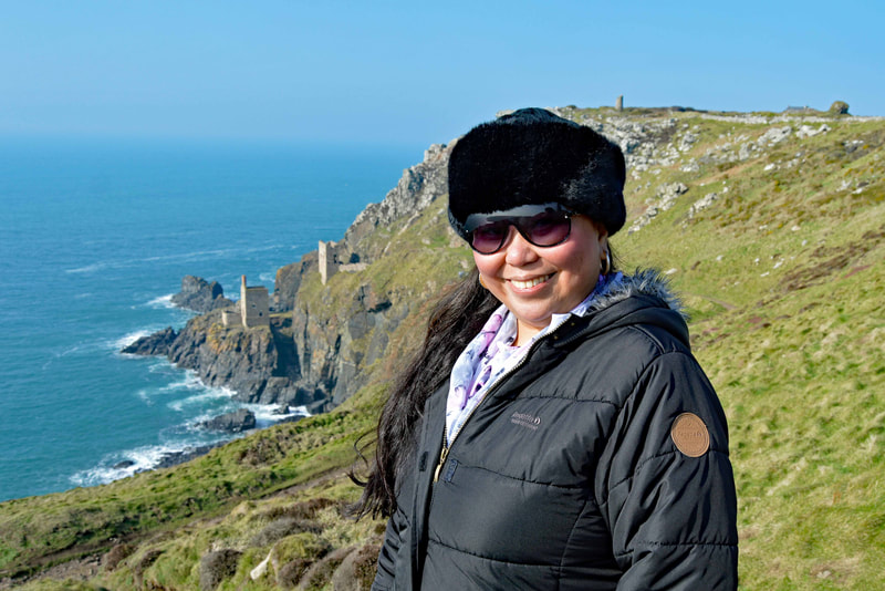
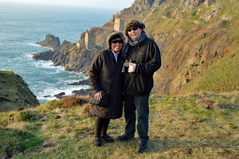
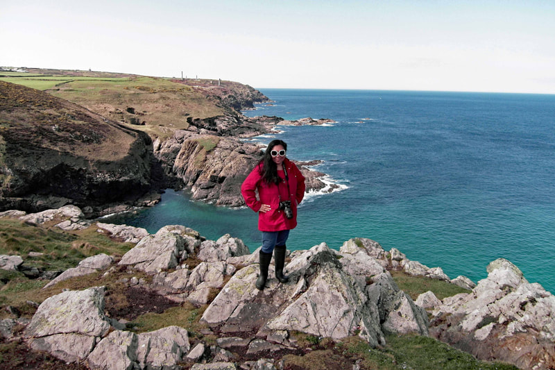
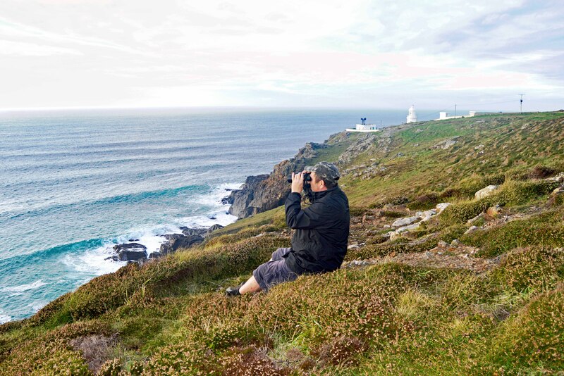
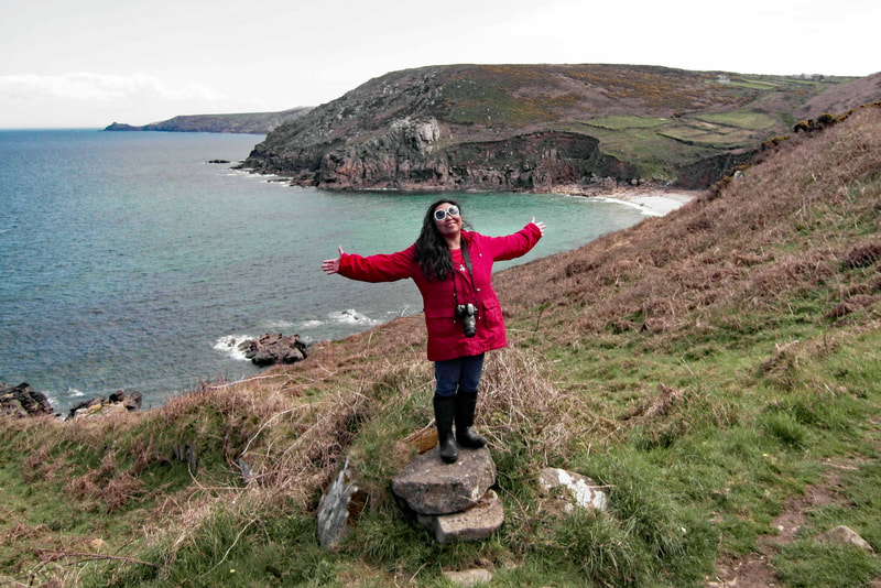
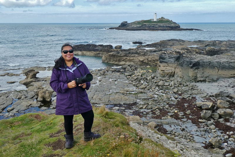
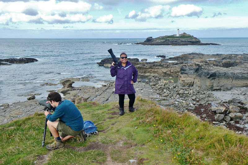
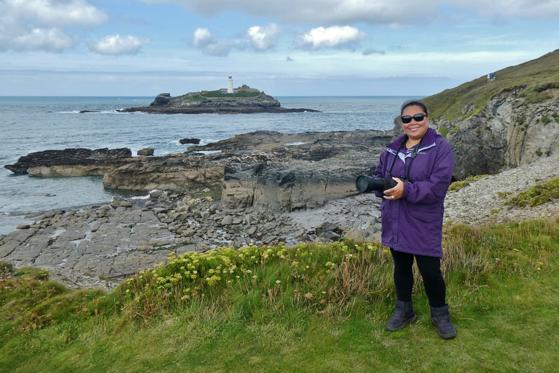
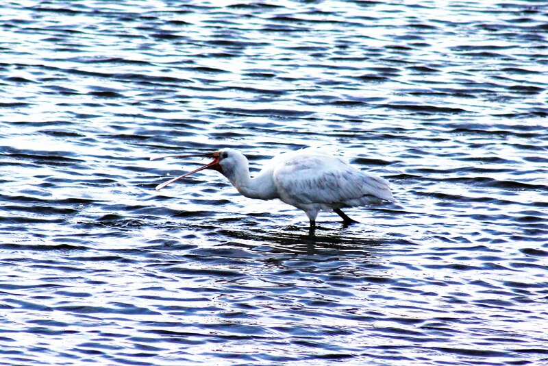
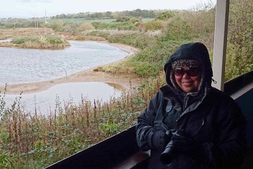
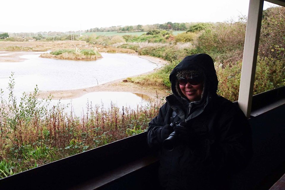
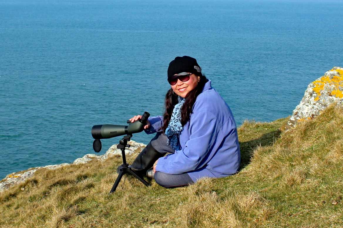
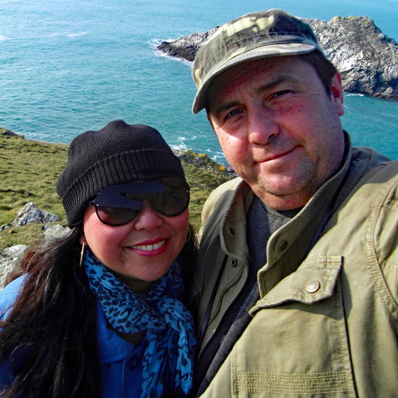
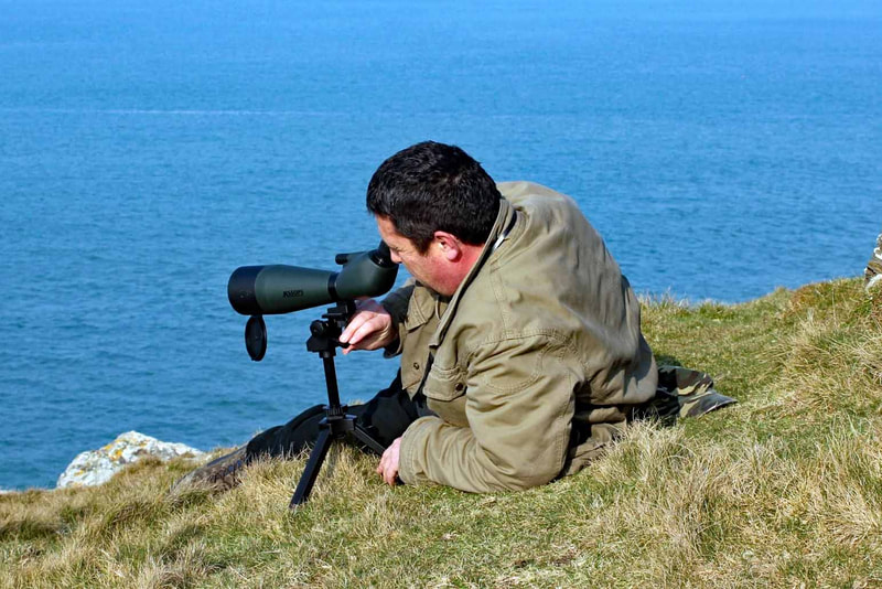
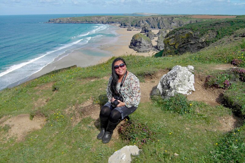
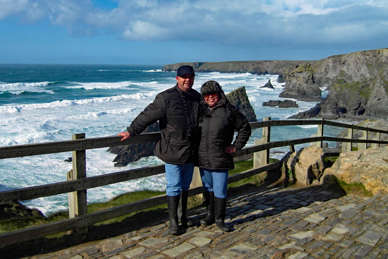
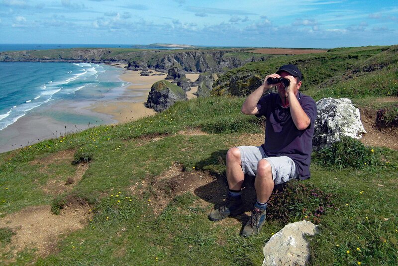
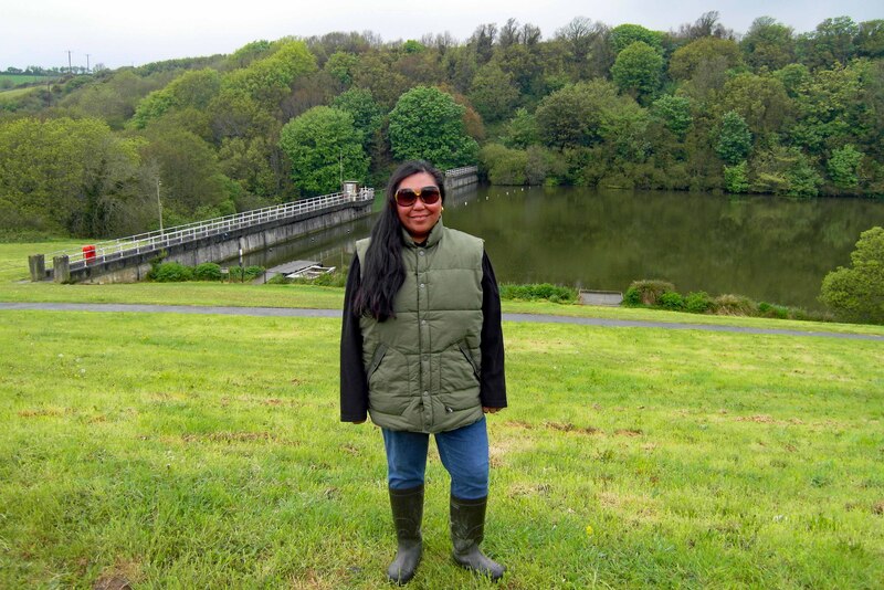
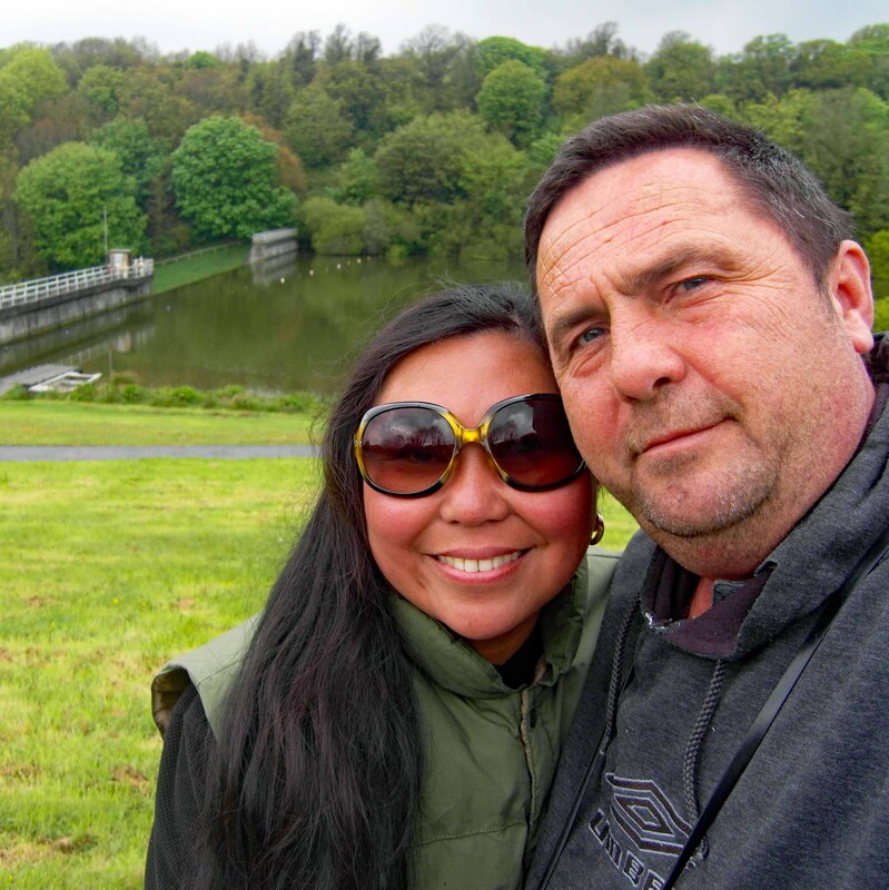
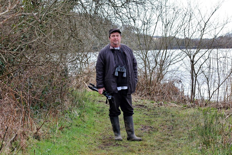
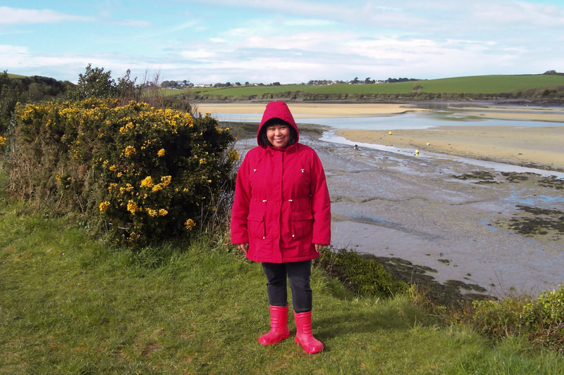
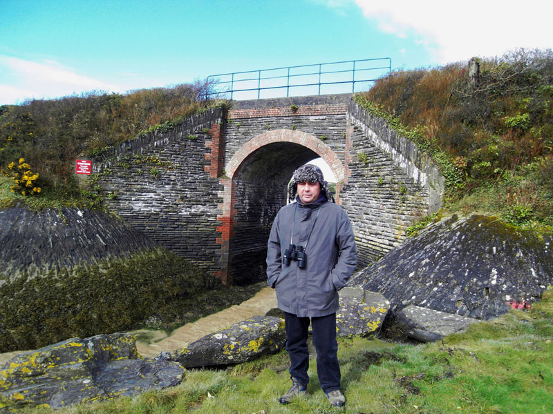
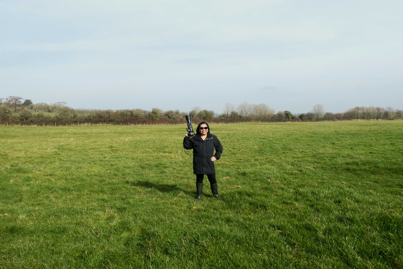
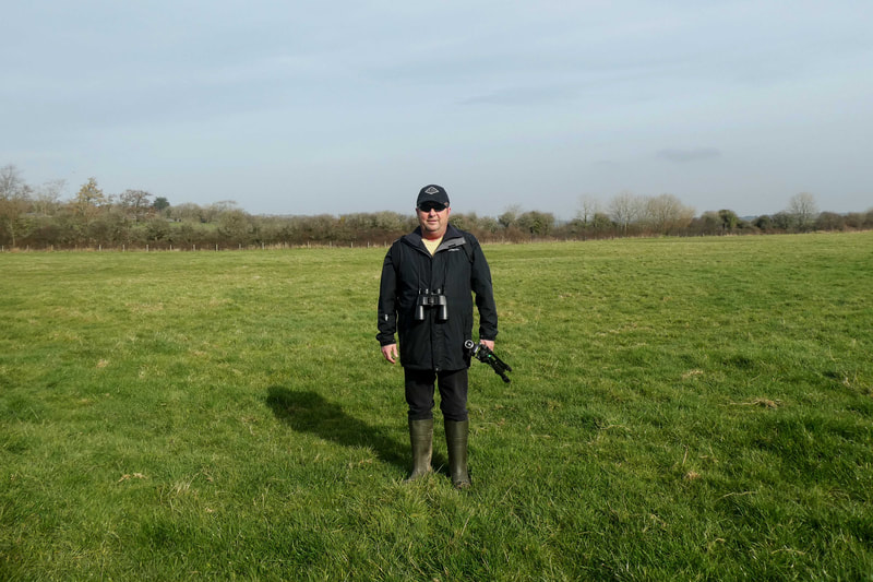
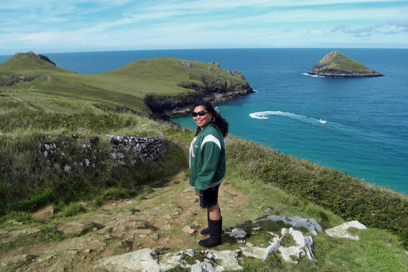
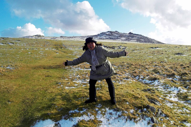
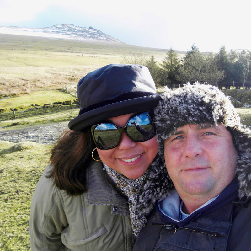
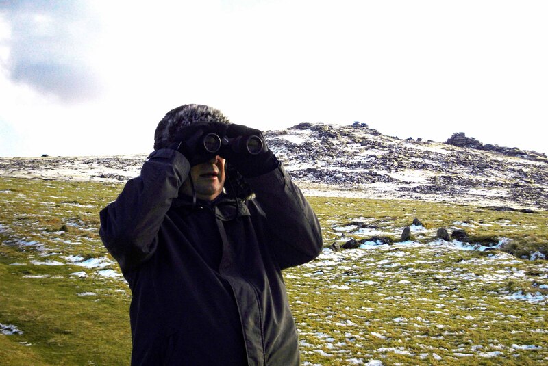
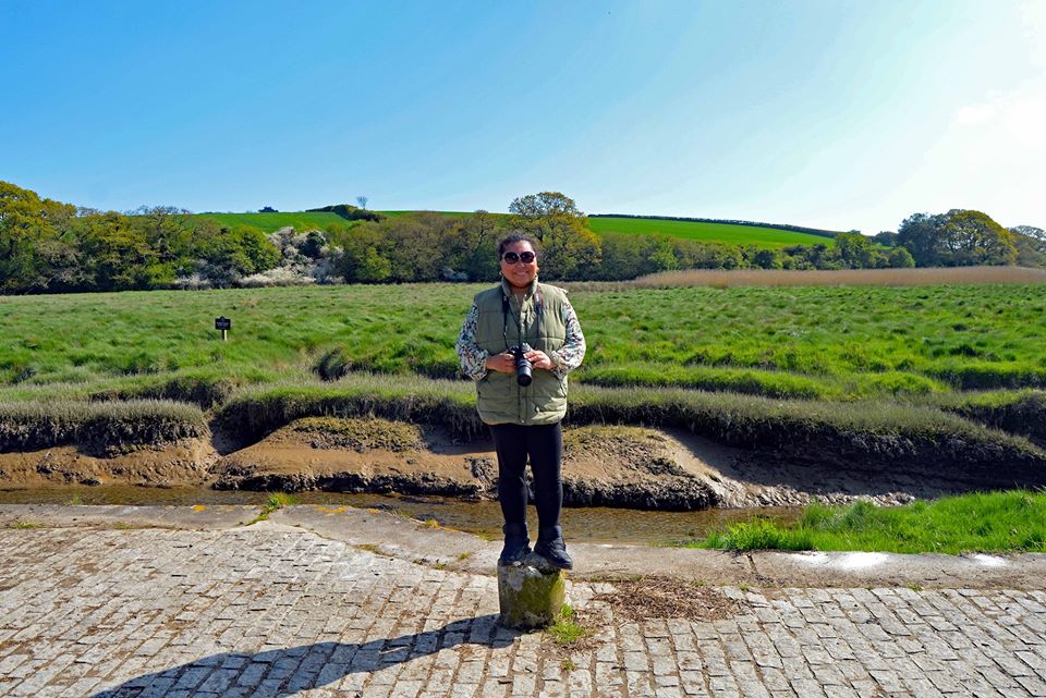
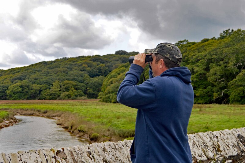
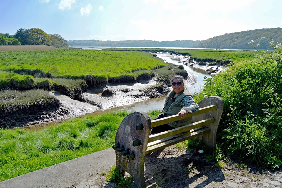
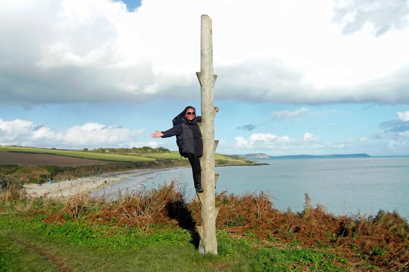
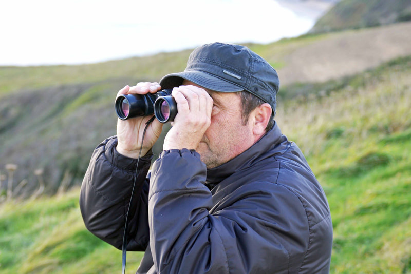
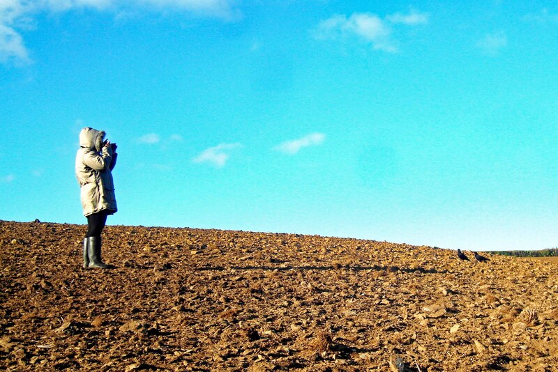
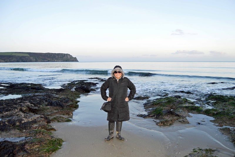
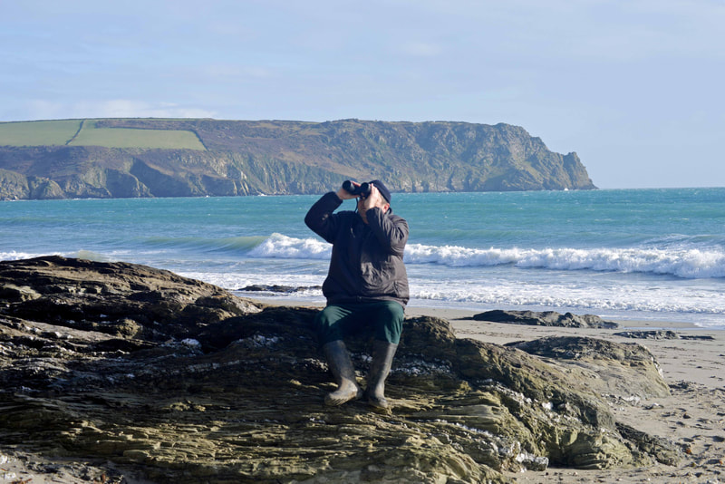
July is my birth month. I was born on the 1st July 1972 in the Philippines. I came to live in Cornwall in 2009. I have been living here for a decade and I'm loving it. Bird-watching has become one of my hobbies.
To celebrate my birthday, I will take you on a "Virtual Bird-watching in Cornwall". Not just for a day but for the whole month of July. I will be posting photos and videos of rare birds and common birds that I have seen on the spectacular countryside of Cornwall. I have been "self-isolating" since 12th March 2020. Now that the lockdown has been eased, I am now "shielding". I will continue to stay home in order to protect the NHS and save lives.
I will be posting my photos and videos here on my website as well on my Social Media: Facebook, Instagram and Twitter.
Like me on Facebook: facebook.com/wildlifematters8
Follow me on Twitter: twitter.com/WildlifeMatter8
Follow me on Instagram: instagram.com/wildlifematter8
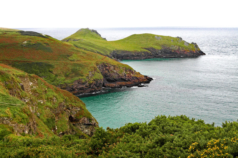
Virtual Bird-watching at "The Lizard Peninsula"
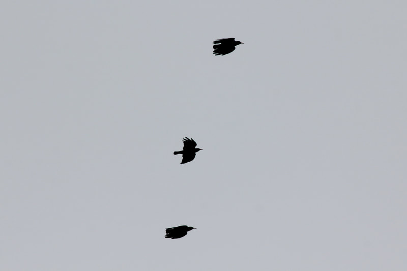
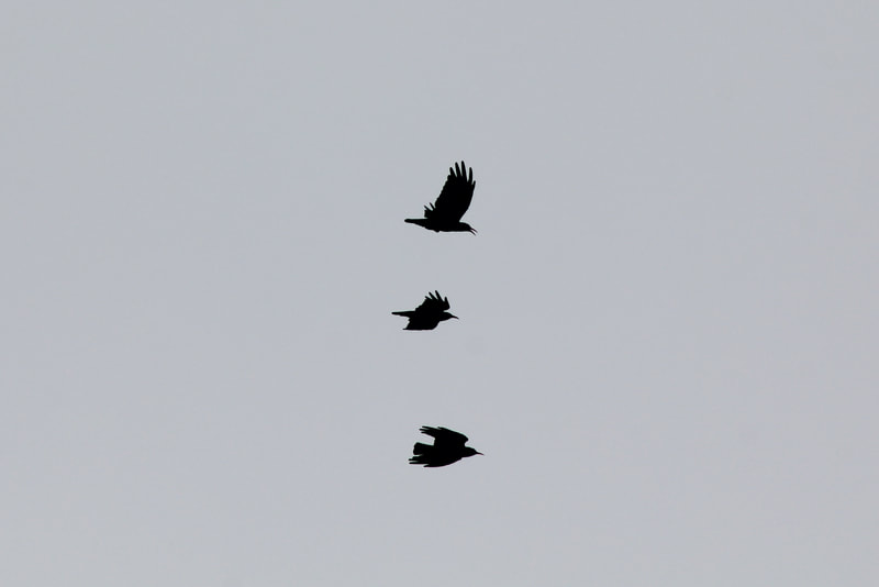
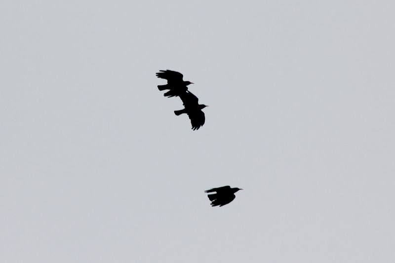
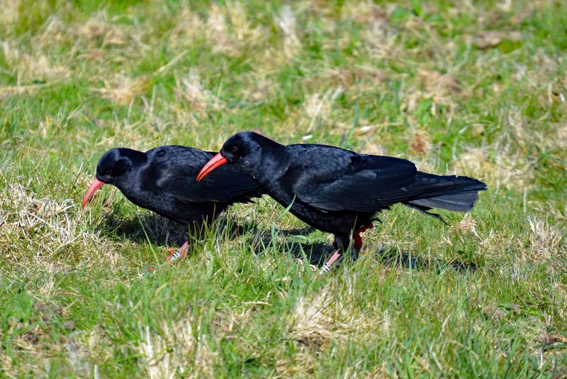
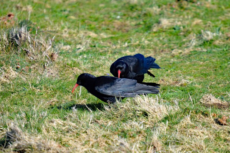
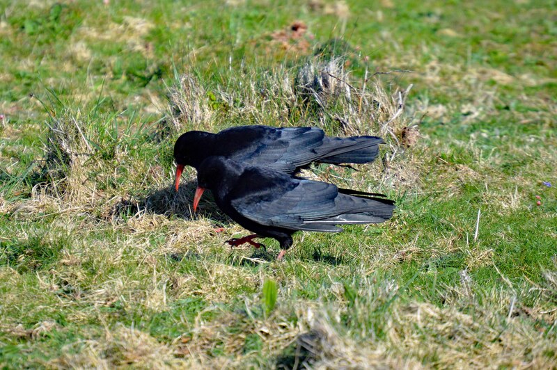
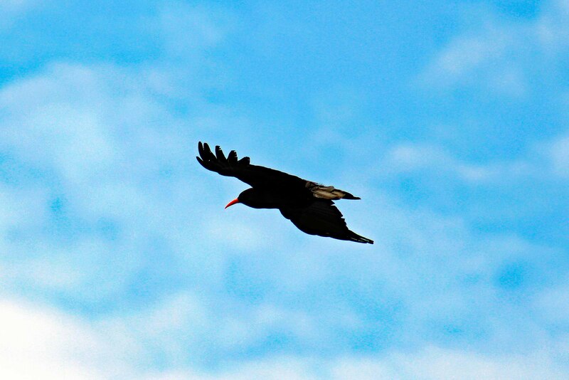
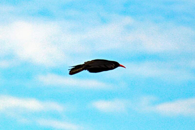
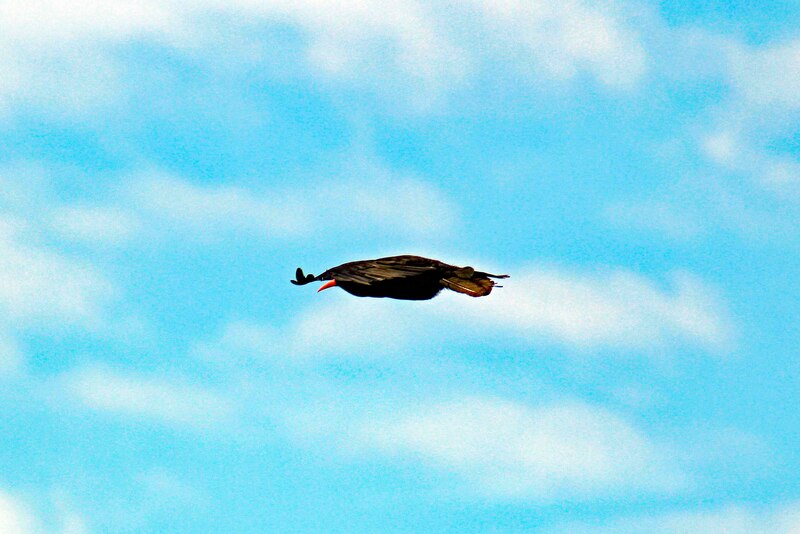
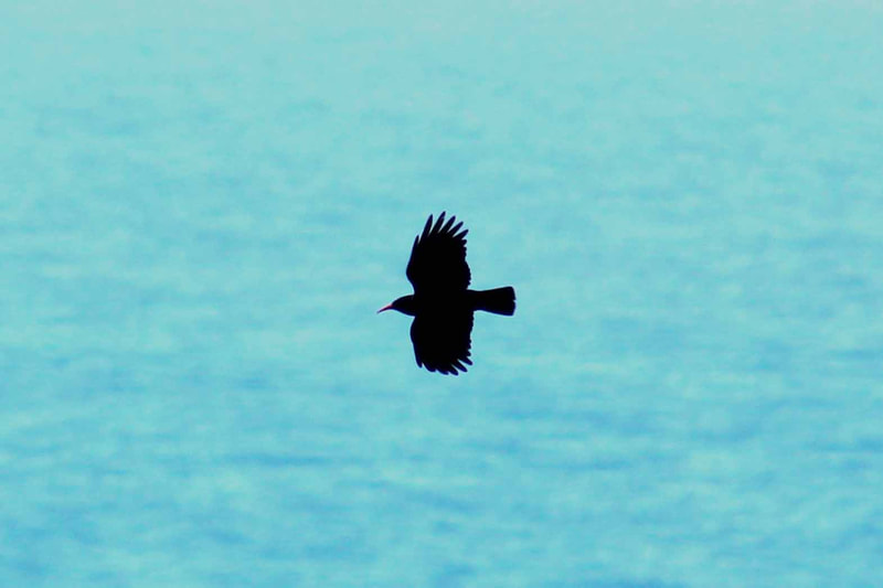
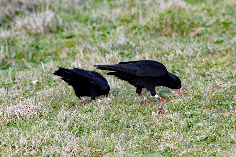
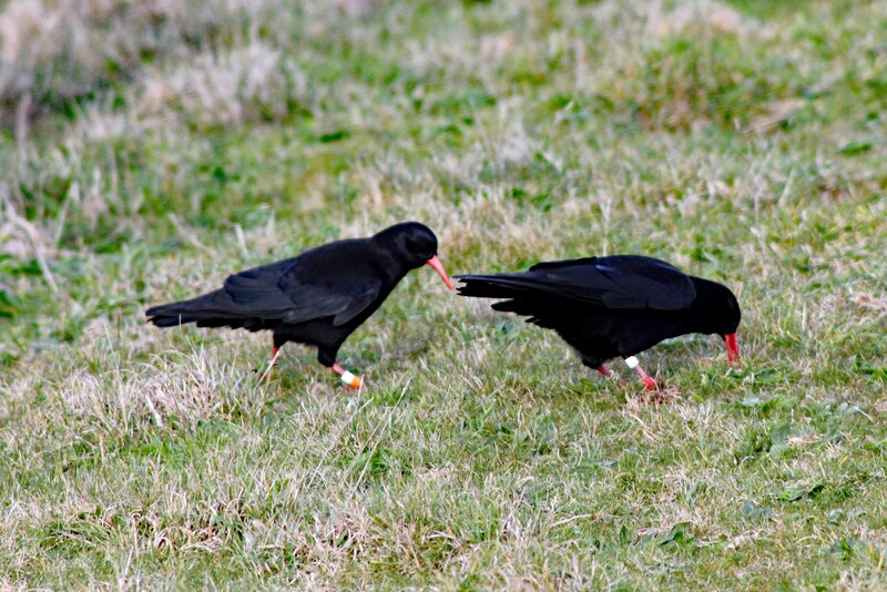
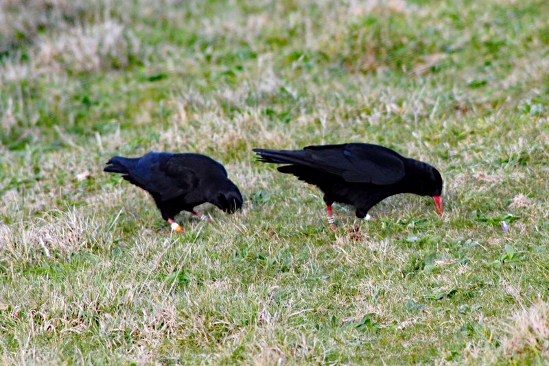
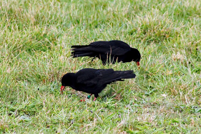
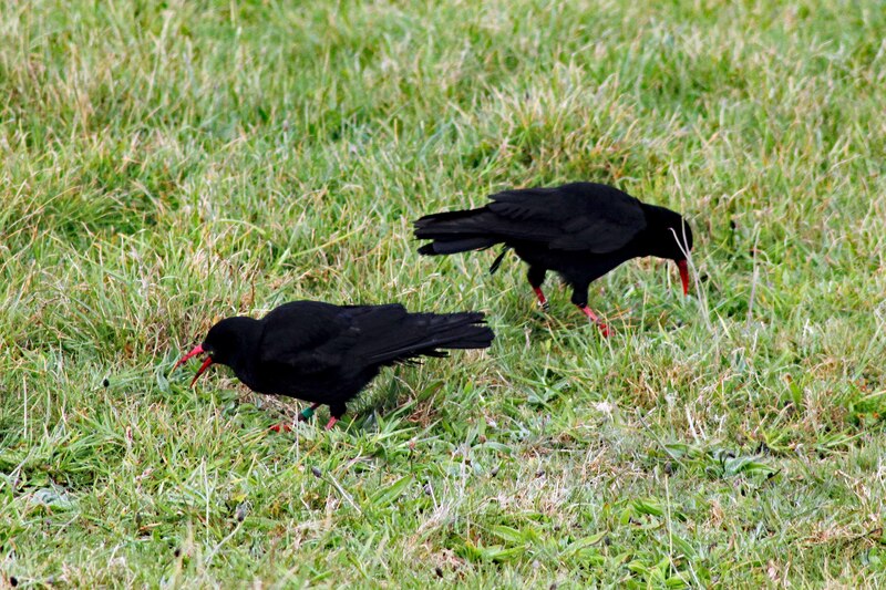
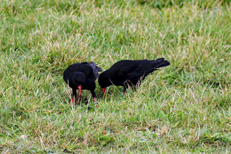
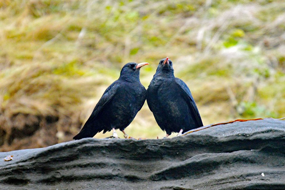
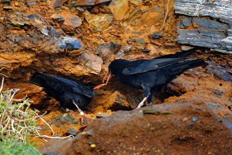
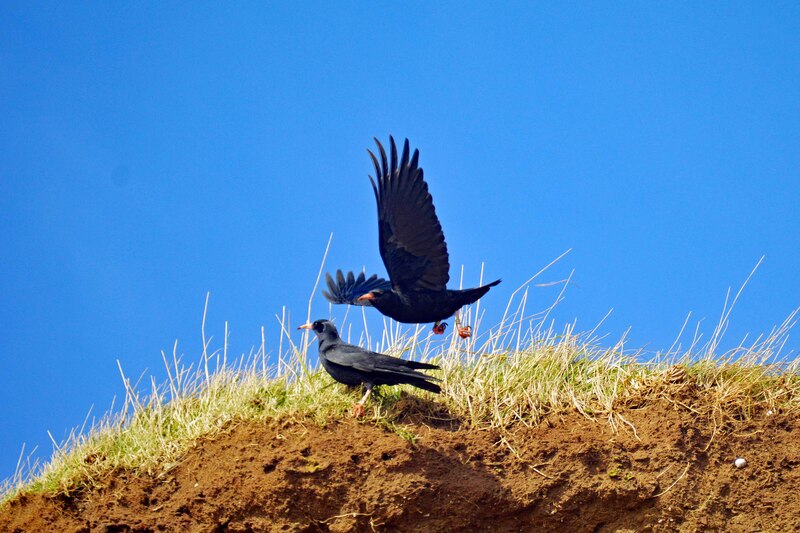
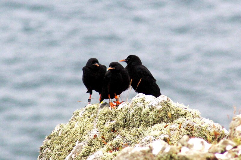
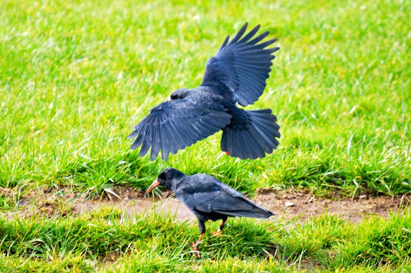
Cornish Choughs
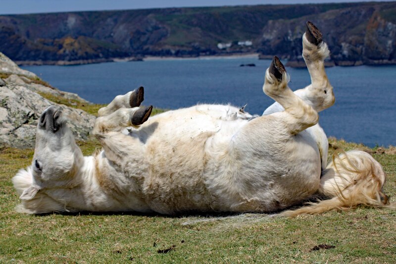
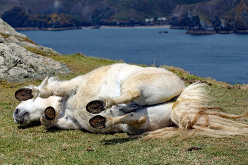
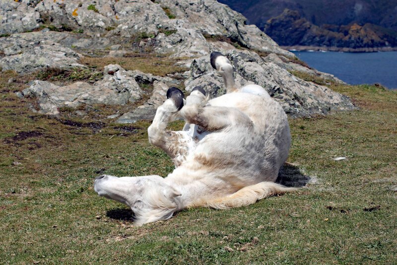
I wonder what this pony is up to... Hahaha
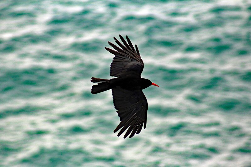
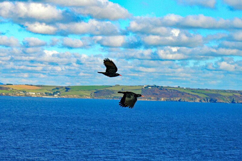
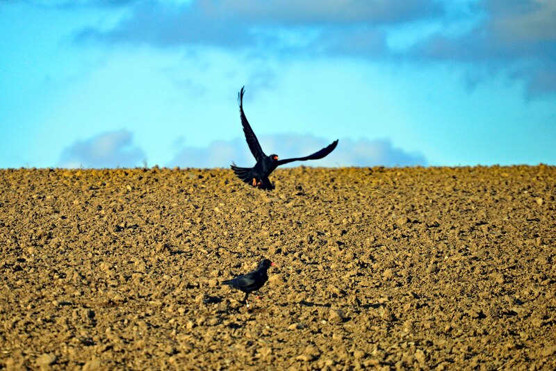
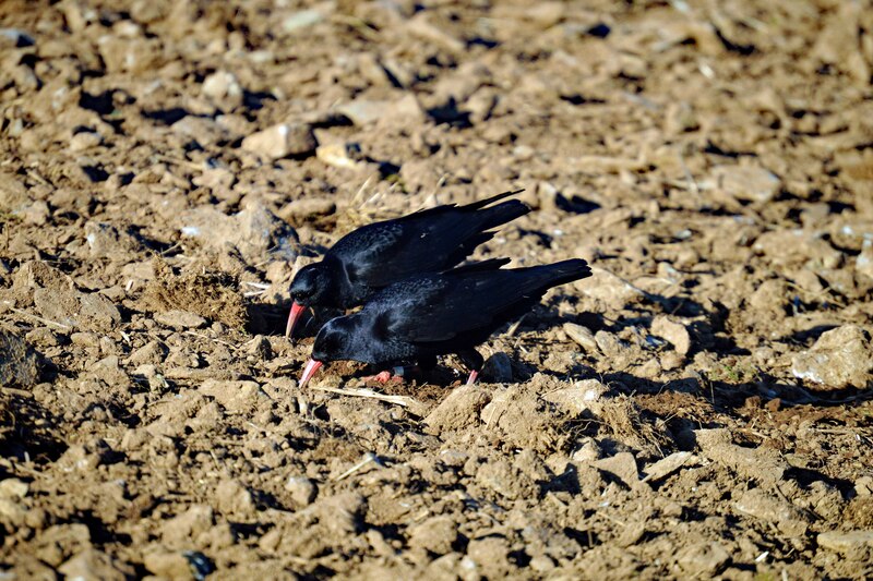
One of my favourite places to go birdwatching is at "The Lizard Peninsula" and best place to see the "Cornish Choughs" too since their return in 2001.
The Lizard is one of England's natural regions and has been designated as national character area 157 by Natural England. The peninsula lies within the (AONB) Cornwall Area of Outstanding Natural Beauty. Lizard Point is situated within Caerthillian to Kennack (SSSI) Site of Special Scientific Interest, noted for its biological and geological interest.
Lizard Point is the most southerly point on mainland Great Britain, it is the southernmost part of England and the wider United Kingdom.
In 2001 the unexpected happened - choughs returned to Cornwall. They were not re-introduced, but wild birds, wandering Celts that found a new home and settled at the Lizard. It had been nearly 30 years since the last true Cornish chough perished, and over 50 years since they successfully bred in Cornwall.
Virtual Bird-watching in "Kynance Cove"
Brown Booby
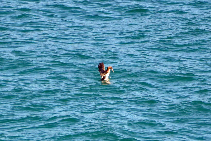
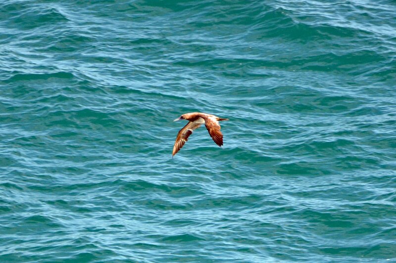
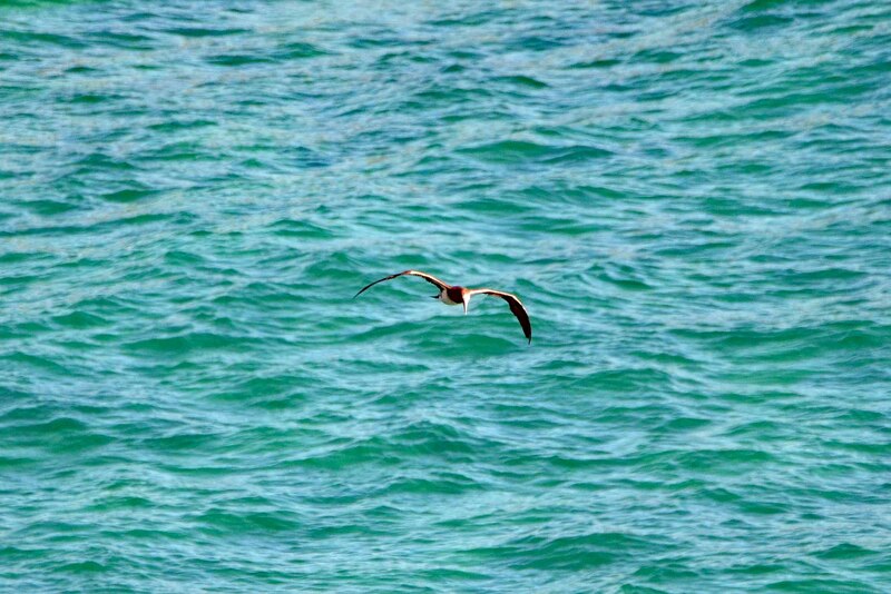
By the end of summer last year, a huge number of birdwatchers around the country came down to Cornwall in "Kynance Cove" to see a rare migrant bird, the Brown Booby. Of course, I'm one of those people who went to see this gorgeous bird at this spectacular place.
Kynance Cove (Cornish: Porth Keynans, meaning ravine cove). The cove became popular in the early Victorian era, with many distinguished visitors including Queen Victoria and Prince Albert and the poet Alfred Tennyson. The BBC has described Kynance Cove as one of the most beautiful stretches of coastline in the South West.
Kynance Cove is part of the West Lizard Site of Special Scientific Interest and is in the Cornwall Area of Outstanding Natural Beauty.
Virtual Bird-watching in "Windmill Farm Nature Reserve"
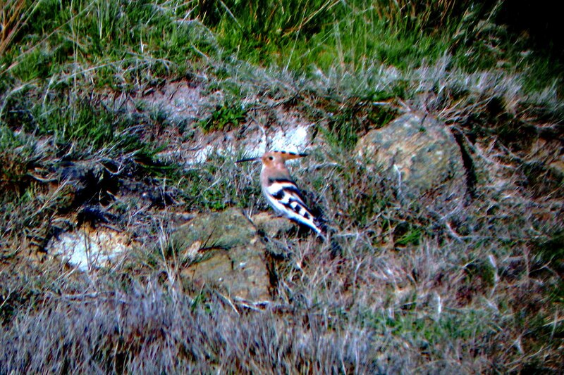
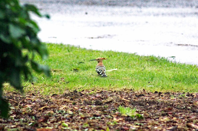
Hoopoe
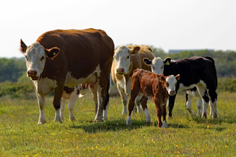
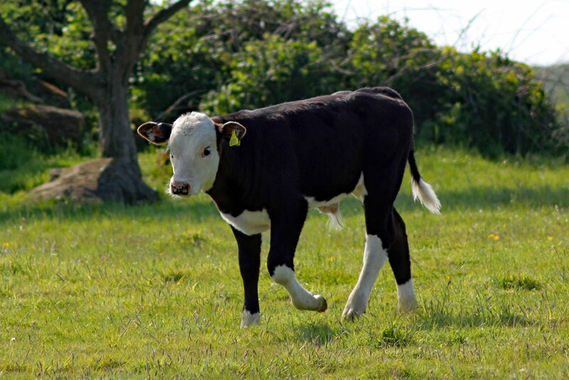
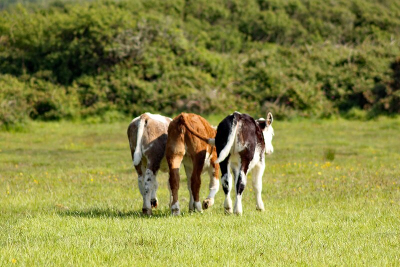
Cows
I saw my first Hoopoe and Barn Owl in "Windmill Farm Nature Reserve" many years ago. So whenever we come to the Lizard area, we always drop by to see what's species is around.
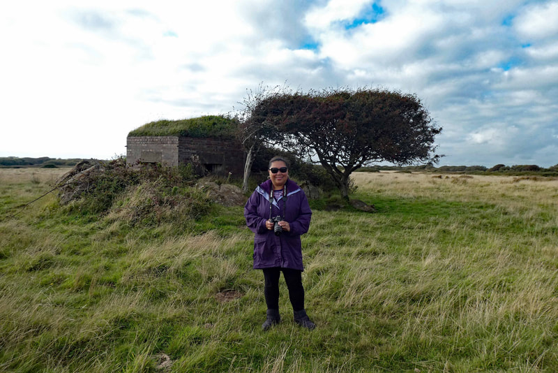
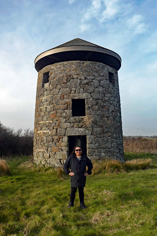
Windmill Farm Nature Reserve comprises of grassland and heathland with some scrub, bog, swamp, and hedgerow. The construction of two ponds and a scrape have provided habitat, together with arable crops for birds. The reserve contains a 17th-century windmill, Bronze Age barrows, and Second World War pillboxes.
In 2016, the Windmill Farm Nature Reserve became part of the Lizard National Nature Reserve in a 466 hectare extension which transformed it into one of the largest nature reserves in the South West. The 83 hectares at Windmill Farm include unique Cornish heathland, which is a designated Special Area of Conservation in recognition of its outstanding international importance.
Virtual Bird-watching in "Penrose Estate"
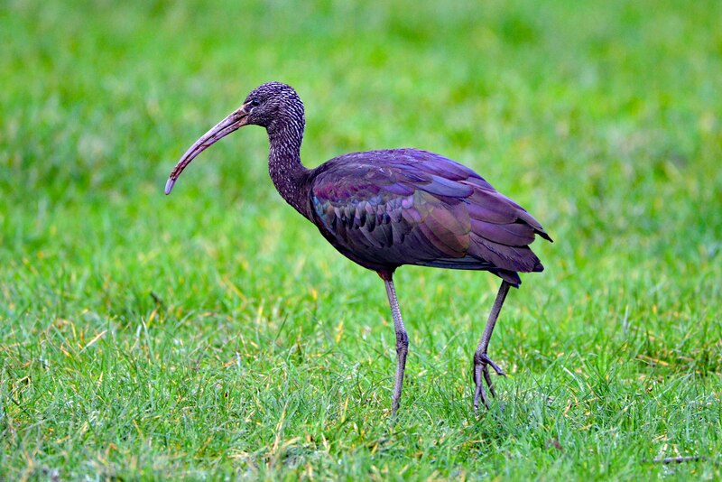
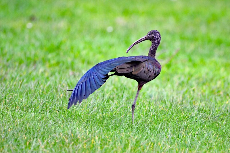
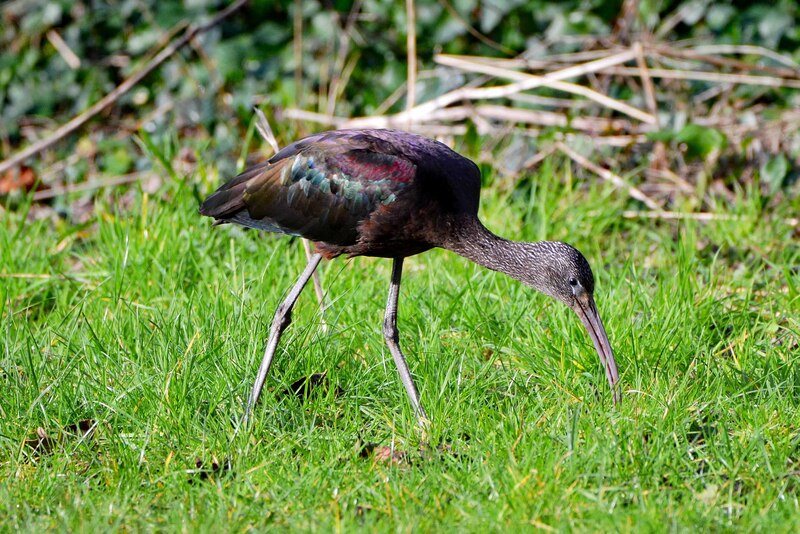
Glossy Ibis
I saw my first Glossy Ibis in 2013 near Tregony Bridge but I do not have a decent photo. So when news that a Glossy Ibis was spotted in "Penrose Estate", me and Rob did not waste any time to go and have a look. I'm sooo delighted to see this gorgeous bird again and I'm quite pleased with my shots.
Virtual Bird-watching in "Helston Boating Lake"
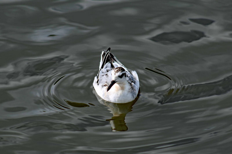
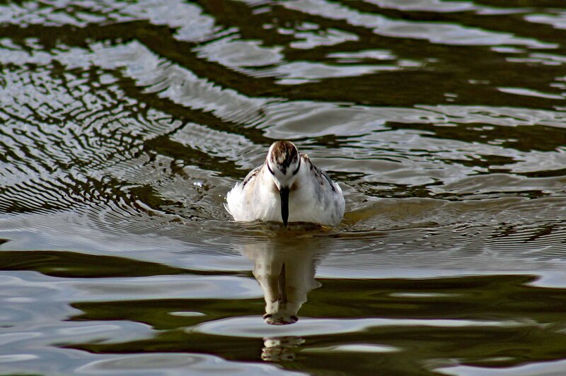
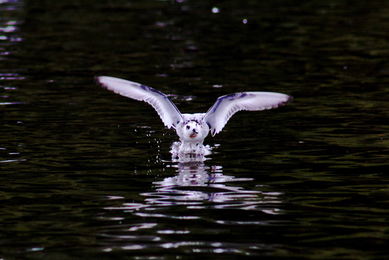
Grey Phalarope
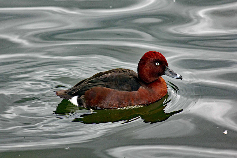
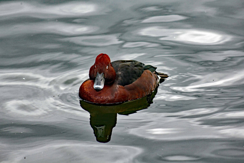
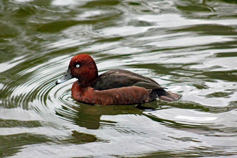
Ferruginous Duck
One of the easiest place I have been to see a migrant bird is in "Helston Boating Lake" to see the Grey Phalarope and Ferruginous Duck. Such a short walk from the free car park across the road.
Virtual Bird-watching in "Devoran Quay"
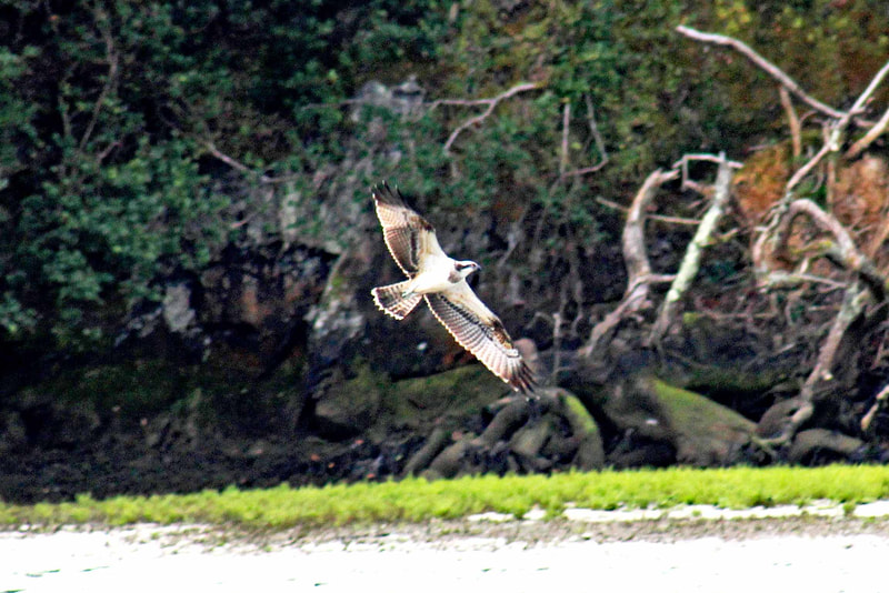
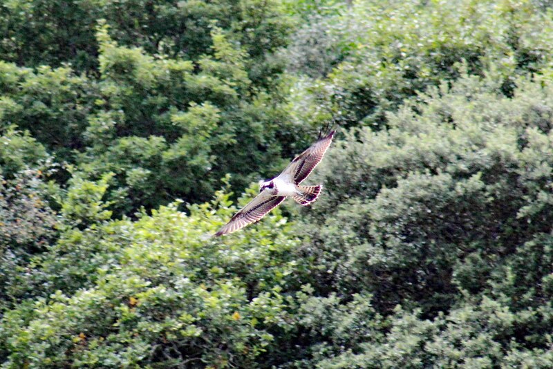
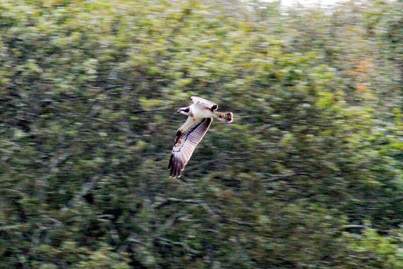
Osprey
I have seen Ospreys a few times in different locations. But for me, "Devoran Quay" is one of the best place to see and photograph them.
Devoran is on the northeast bank of the Carnon River at its confluence with Restronguet Creek, a tidal creek which flows into Carrick Roads above Falmouth. Devoran is at the Normal Tidal Limit (NTL) of the creek but until the 20th-century the tidal limit stretched much further up the valley than now.
Devoran is on the northeast bank of the Carnon River at its confluence with Restronguet Creek, a tidal creek which flows into Carrick Roads above Falmouth. Devoran is at the Normal Tidal Limit (NTL) of the creek but until the 20th-century the tidal limit stretched much further up the valley than now.
Virtual Bird-watching in "Gwennap Head"
Cornish Choughs
The rugged and majestic Cornish coastline at it's best is one way to describe "Gwennap Head". It's simply beautiful and breathtaking. This is one of my favourite places in Cornwall and we come here quite often. It's rich in wildlife. Loads of rare birds, migrant birds, sea birds and Cornish Choughs too.
Gwennap Head (Cornish: Toll Pedn Pennwydh, meaning holed head of Penwith) is a headland on the south coast of the Penwith peninsula. The area of Gwennap Head is designated as part of the Penwith Heritage Coast and also designated as part of the Cornwall Area of Outstanding Natural Beauty and part of the Porthgwarra to Pordenack Point Site of Special Scientific Interest (SSSI).
Gwennap Head (Cornish: Toll Pedn Pennwydh, meaning holed head of Penwith) is a headland on the south coast of the Penwith peninsula. The area of Gwennap Head is designated as part of the Penwith Heritage Coast and also designated as part of the Cornwall Area of Outstanding Natural Beauty and part of the Porthgwarra to Pordenack Point Site of Special Scientific Interest (SSSI).
Virtual Bird-watching in "Treeve Moor"
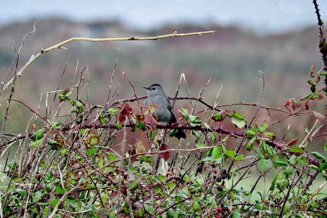
Grey Catbird
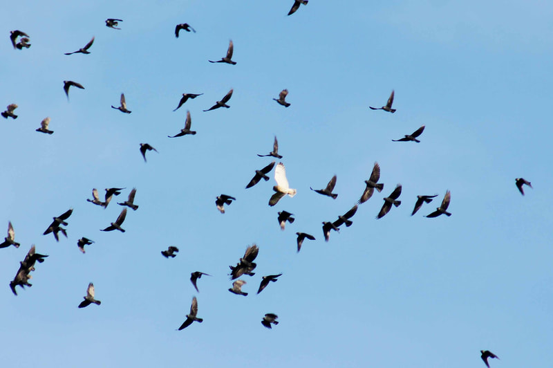
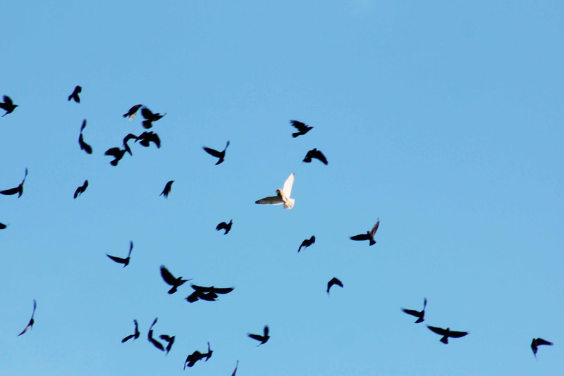
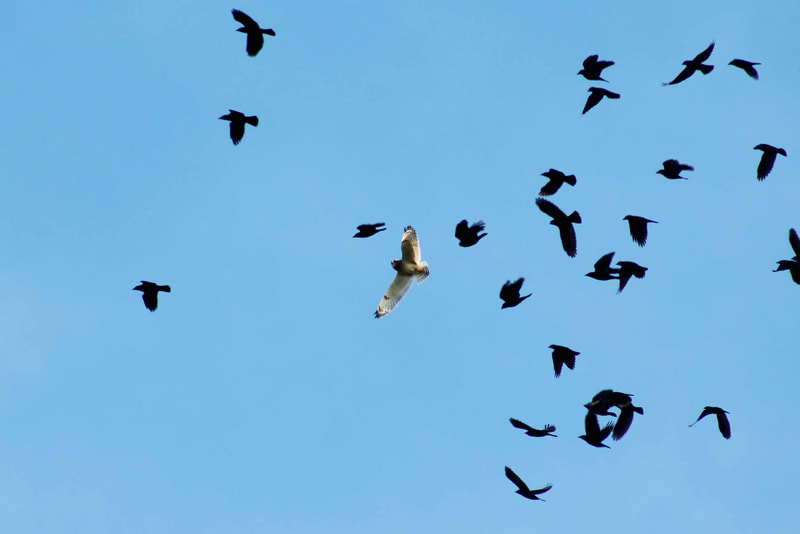
Short-eared Owl
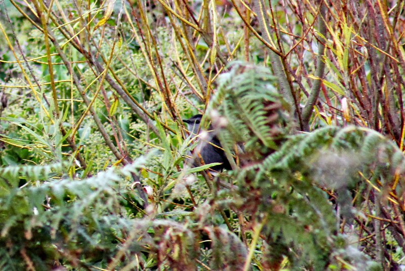
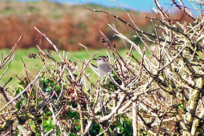
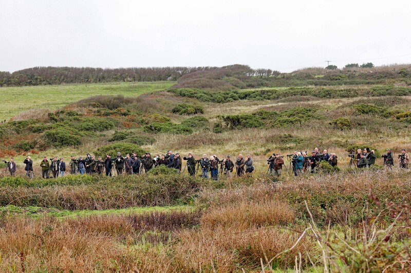
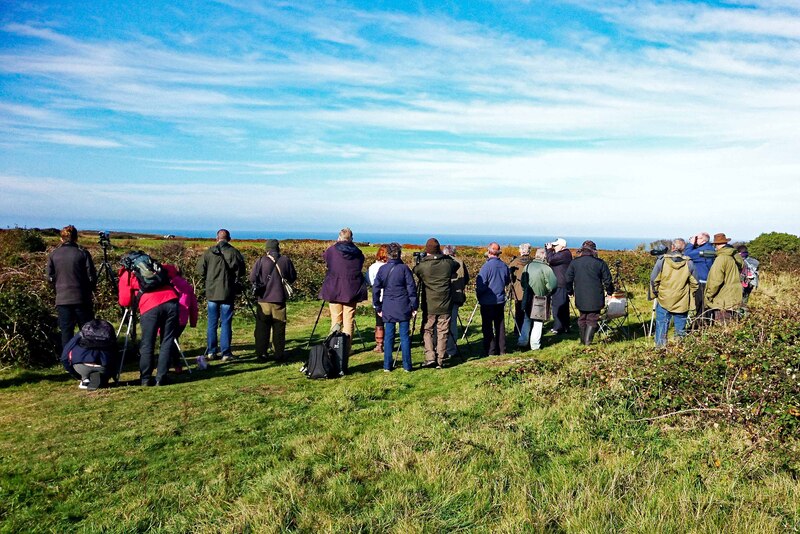
October 2018, a huge number of birdwatchers from around the country came down to Cornwall to get a glimpse of a rare migrant bird from North America, the Grey Catbird in "Treeve Moor". It's just the second time the bird has been sighted on mainland Britain. We went to see the bird as well but it's very elusive. We were there on the 17, 19 and 23 October from 7:00am to 5:00pm. It's freezing cold too. But I have to be patient in order to get a good shot. And I did manage to get a few. That's all worth it.
Virtual Bird-watching in "Land's End"
Cornish Choughs
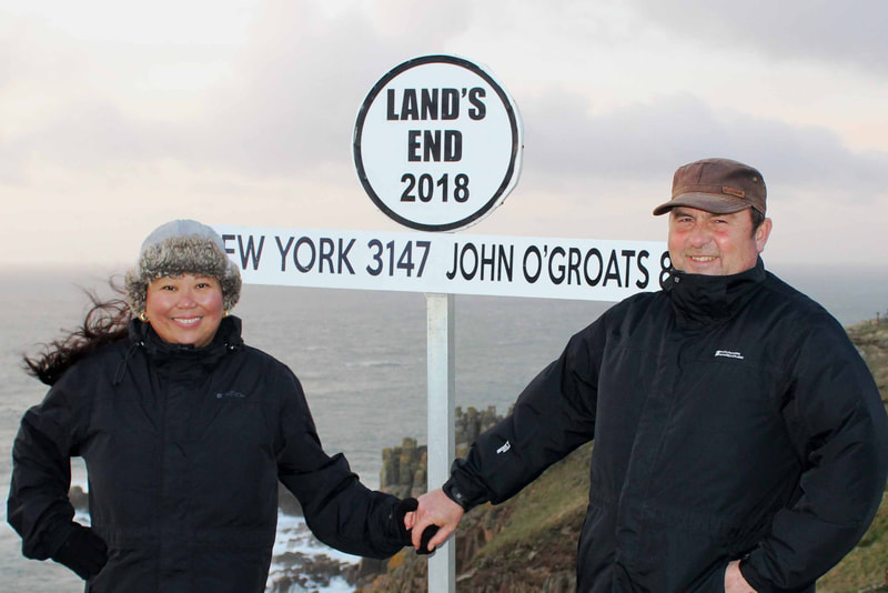
The dramatic and rugged cliffs in "Land's End" are just amazing. They are made of granite, an igneous rock, which means they are resistant to weathering, and have steep cliff faces. This is definitely one of my favourite places in Cornwall to go for a walk and birdwatching. I always see the Cornish Choughs whenever we come here and other species too.
Land's End (Cornish: Penn an Wlas or Pedn an Wlas) is a headland in western Cornwall, situated within the Penwith peninsula. To the east of it is the English Channel, and to the west the Celtic Sea. Land's End is the most westerly point of mainland Cornwall and England.
The area around Land's End has been designated part of an Important Plant Area, by the organisation Plantlife, for rare species of flora. Land's End is a popular venue for rock climbers.
The Longships, a group of rocky islets are just over 1 mile (1.6 km) offshore, and together with the Seven Stones Reef and the Isles of Scilly which lie about 28 miles (45 km) southwest — are part of the mythical lost land of Lyonesse, referred to in Arthurian literature.
Virtual Bird-watching in "Sennen Cove and Mayon Cliffs"
Cornish Choughs
I love going to "Sennen Cove and Mayon Cliffs" for a walk and birdwatching. It's very scenic. The beach is overlooking the sparking Atlantic ocean. It's great to see the Cornish Choughs flying around and other sea birds.
The beach at Sennen Cove is called Whitesands Bay and it almost lives up to this name with almost a mile of fine sand stretching around to neighbouring Gwenver beach.
Over 150,000 people walk along Mayon Cliffs each year; an iconic stretch of coast linking Sennen cove to Land’s End, the most westerly point in mainland UK. Mayon cliff is typical of West Penwith: wind-cropped heathland, lichen-encrusted boulders and ancient monuments.
Virtual Bird-watching in "Botallack"
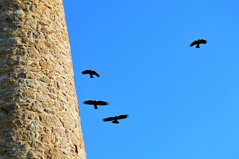
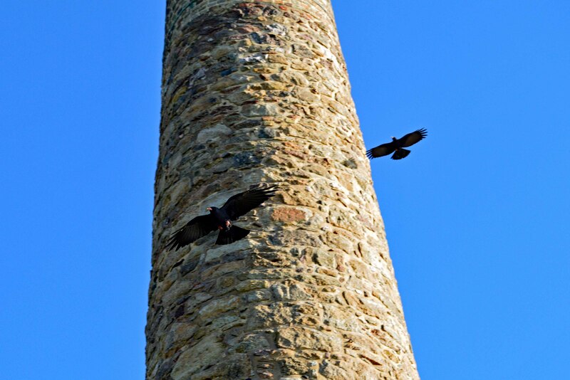
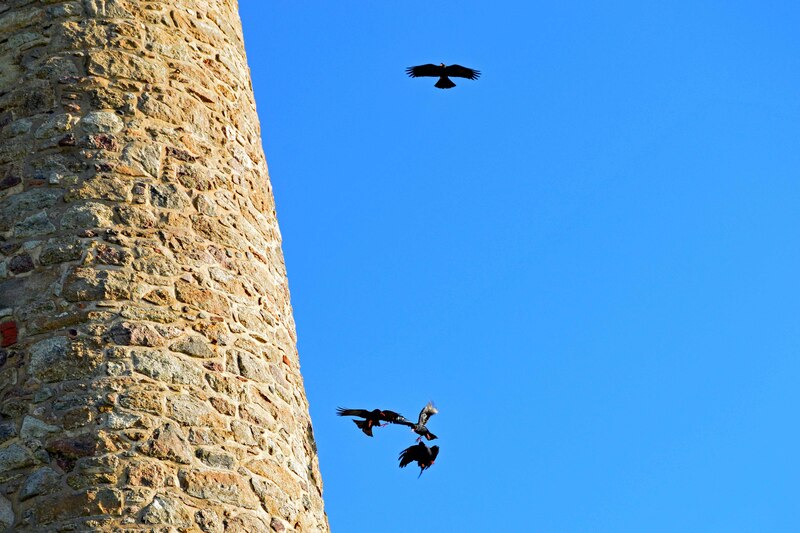
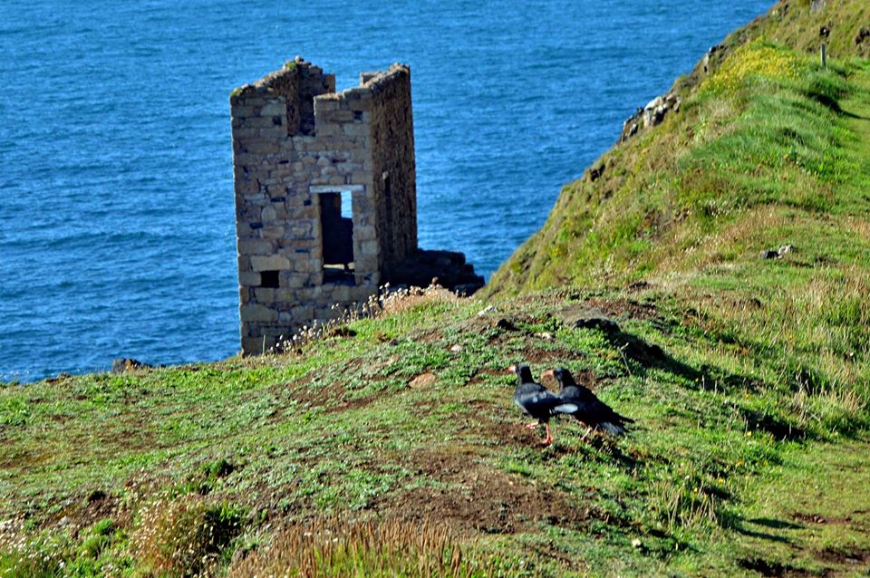
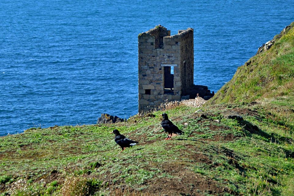
The iconic and enigmatic Cornish Choughs flying around the chimney
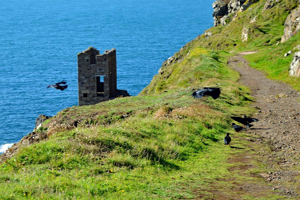
The iconic and enigmatic Cornish Choughs near the Crowns Engine Houses
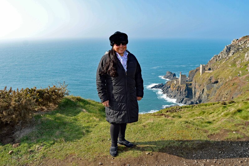
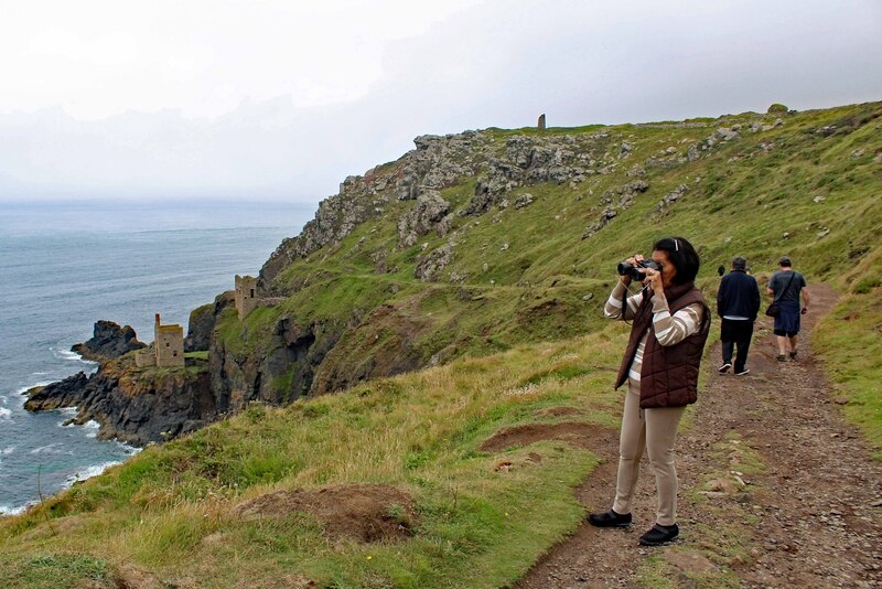
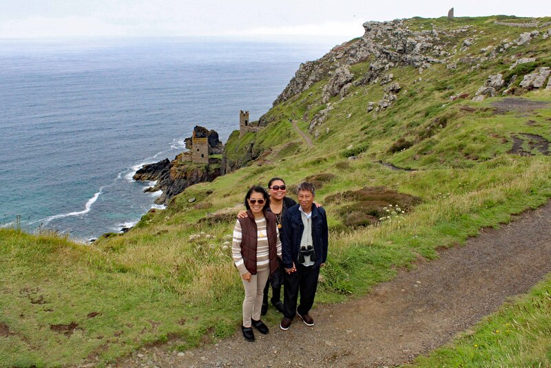
If you love nature, wildlife, culture and heritage sites and of course Poldark, "Botallack" is the place. This is one of my favourite places in Cornwall. It's so picturesque and very scenic. I'm so delighted when they filmed Poldark here. I'm not only Chough watching but also Poldark watching!
The Tin Coast is Cornwall's oldest new destination. It's a cultural landscape of World Heritage site status, it is a place defined by Cornish mining, part of the Cornish Mining World Heritage Site. In 2006 Botallack (Cornish: Bostalek) was given World Heritage Site status by UNESCO. The mine is within the Aire Point to Carrick Du Site of Special Scientific Interest (SSSI) and the South West Coast Path passes along the cliff.
The 1970s BBC television series Poldark was filmed partly in Botallack, using Manor Farm as Nampara. More recently, filming for the new Poldark series also took place here. The West Wheal Owles pumping engine house is used for filming both Wheal Grace and Wheal Leisure in the BBC's new Poldark series. There was a real mine called Wheal Leisure at Perranporth where Winston Graham lived.
Lae Maen Veor (Cornish: Legh Men Veur meaning great stone ledge), or Botallack Head, is a headland to the north west of Botallack.
Virtual Bird-watching in "Pendeen"
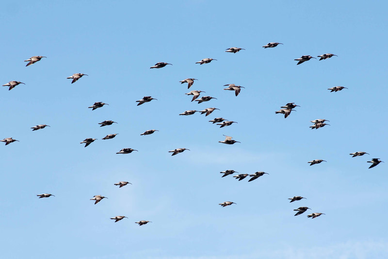
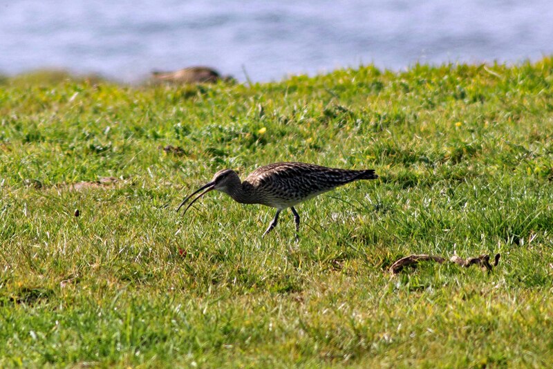
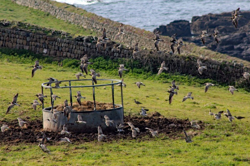
Whimbrel
Spectacular views and amazing wildlife is what's in store for you here in "Pendeen". We saw hundreds of Whimbrels from one of our walks here.
Pendeen (from Cornish: Penn Din, otherwise known as Boskaswal Wartha) is overlooked by a hill, Carn Eanes, referred to locally as 'The Carn', the site of a quarry which provided the granite to build Pendeen church.
Pendeen Lighthouse, also known as Pendeen Watch is an active aid to navigation. It is located within the Aire Point to Carrick Du SSSI, the Cornwall Area of Outstanding Natural Beauty and the Penwith Heritage Coast.
Virtual Bird-watching in "St Gothian Sands Nature Reserve" and "Godrevy Heritage Coast"
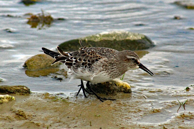
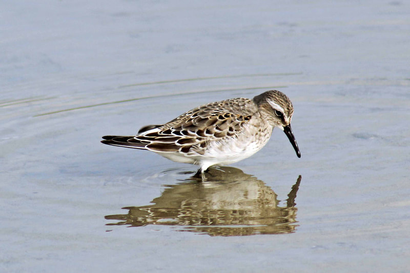
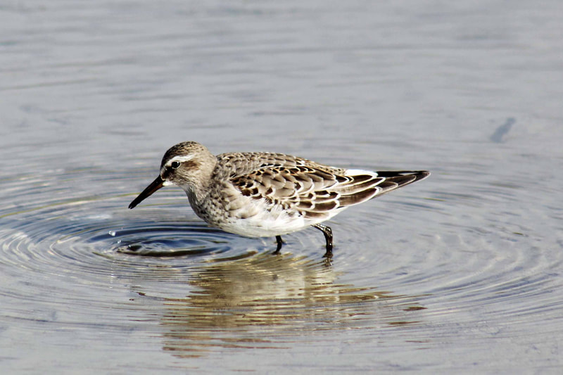
White-rumped Sandpiper
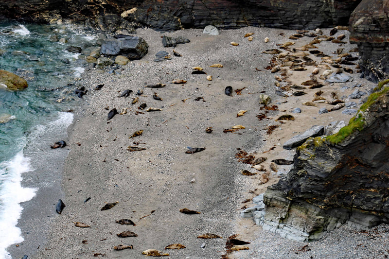
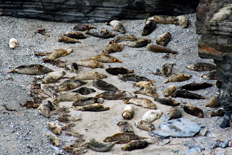
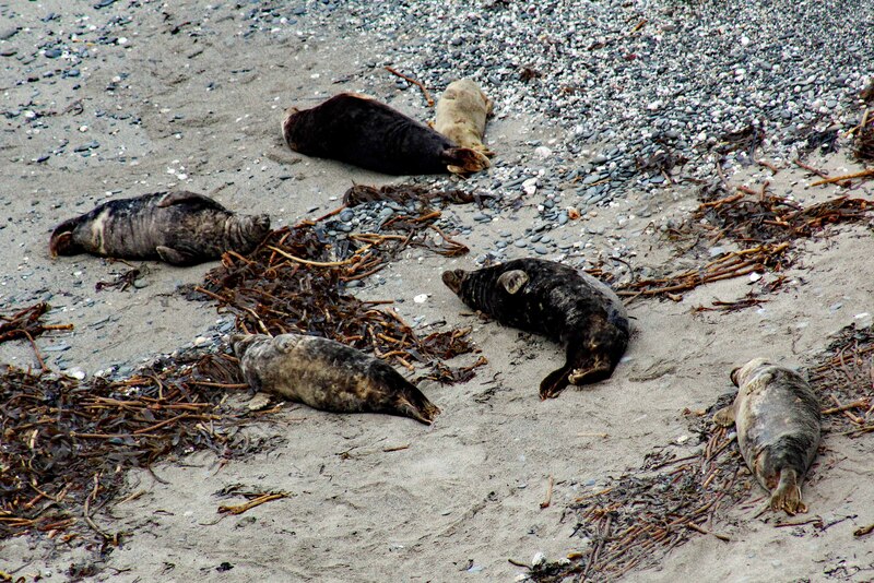
Seals
One of my favourite places to see all sorts of wildlife is in "St Gothian Sands Nature Reserve" and "Godrevy Heritage Coast". Spectacular views and amazing wildlife. A few migrant birds too like the White-rumped Sandpiper.
The White-rumped Sandpiper (Calidris fuscicollis) is a small shorebird that breeds in the northern tundra of Canada and Alaska. These are known collectively as "peeps" or "stints".
St Gothian Sands Nature Reserve is a local nature reserve located behind Gwithian Beach at the eastern end of St Ives Bay. The National Trust's Godrevy is to the east. Godrevy Island and Lighthouse are out at sea.
Godrevy (Cornish: Godrevi, meaning small farms) (/ɡəˈdriːvi/ gə-DREE-vee) faces the Atlantic Ocean and lies within the Cornwall Area of Outstanding Natural Beauty (AONB) and the South West Coast Path runs around the whole promontory.
Godrevy Head has some of the best coastal heathland in Cornwall, with many species of plant, animal and insect life. Part of the headland, along with the coast to the east, was designated as part of the Godrevy Head to St Agnes SSSI (Site of Special Scientific Interest) in 1951.
Godrevy Island lies approx three hundred yards off Godrevy Point. The uninhabited island is the site of Godrevy Lighthouse.
The rocks at Godrevy are Devonian mudstones overlain with Quaternary ice age deposits. The mudstone was laid in a deep sea sedimentary basin and subject to seismic activity, forming turbidites. Under gravitational slumping the coarser material settled first followed by the finer material.
Virtual Bird-watching in "Hayle Estuary Nature Reserve"
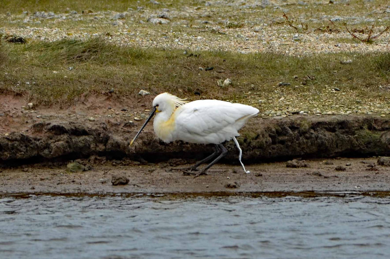
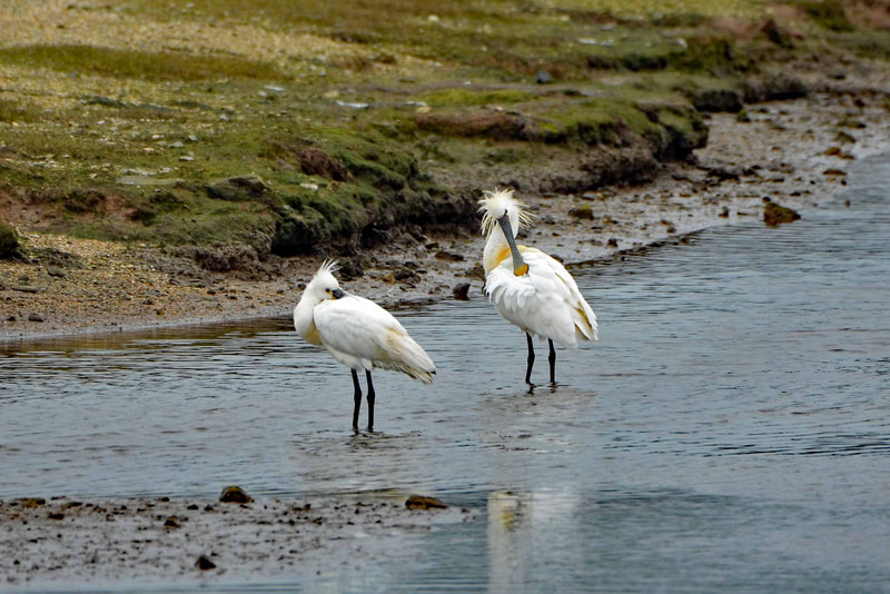
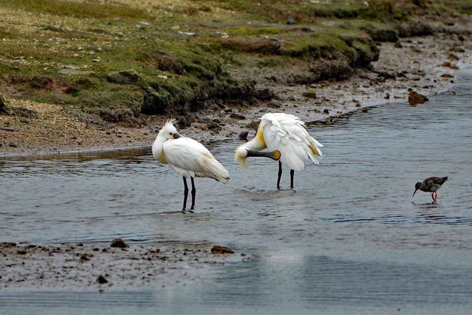
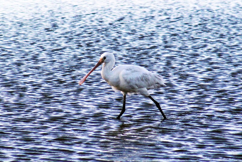
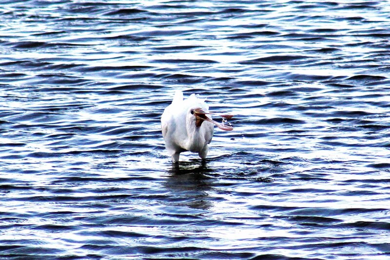
Spoonbill
Whenever we go down west, we always pass by "Hayle Estuary Nature Reserve" to check out what's around. It's always a delight to see loads of species most especially uncommon ones like the Spoonbill with it's incredible beak.
The estuary of the River Hayle consists of a main channel, with several other nearby tidal areas, including Lelant Saltings, Copperhouse Creek (Cornish: Est Logh, meaning eastern inlet) and Carnsew Pool (also known as Carnsew Basin). It is included in the Hayle Estuary and Carrack Gladden Site of Special Scientific Interest.
The estuary of the River Hayle consists of a main channel, with several other nearby tidal areas, including Lelant Saltings, Copperhouse Creek (Cornish: Est Logh, meaning eastern inlet) and Carnsew Pool (also known as Carnsew Basin). It is included in the Hayle Estuary and Carrack Gladden Site of Special Scientific Interest.
Virtual Bird-watching in "Kelsey Head"
Cornish Choughs
One of our most visited and favourite places to go for a walk and birdwatching is in "Kelsey Head". Just a few miles from where we live. The flora and fauna here is just amazing and the view is just stunning. And of course, we always see the Cornish Choughs flying or foraging on the cliffs.
Kelsey Head is a coastal Site of Special Scientific Interest (SSSI) and noted for its biological interest. The site contains an Iron Age hill fort.
The headland is the site of earthwork remains of a 170-metre (560 ft) by 160-metre (520 ft) cliff castle, dated to the Iron Age. But there is evidence of earlier habitation on the site, of Mesolithic and Neolithic periods, through the discovery of flint flakes not related to the cliff castle. The cliff castle features evidence of earth and stone ramparts, a smaller annexe and an earthwork and external ditch protecting the south-eastern, inland, side.
The two main habitats of the SSSI are the sand dunes of Holywell Bay and the calcareous grassland of Cubert Common. Other smaller habitats include meadows, scrubland, wet flushes, woodland, offshore islands and intertidal habitats.
These habitats support several invertebrate species and colonies of seabirds.
Virtual Bird-watching in "Newquay"
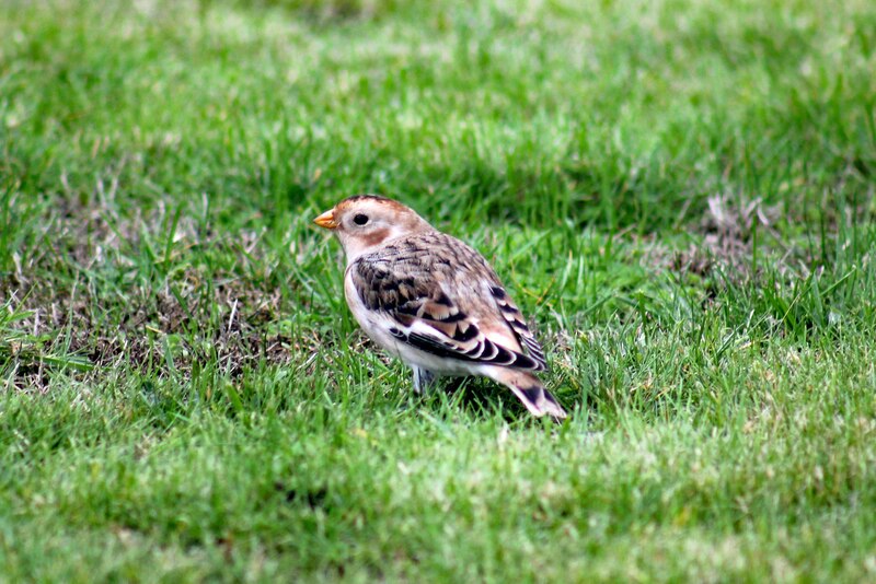
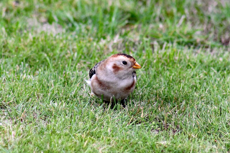
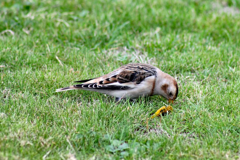
Snow Bunting
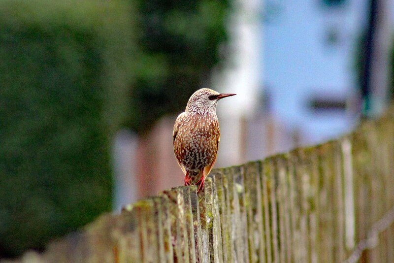
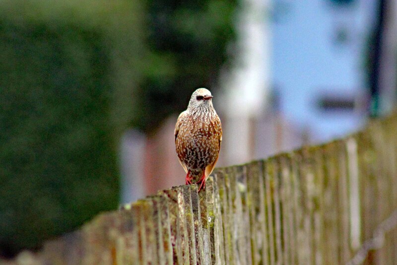
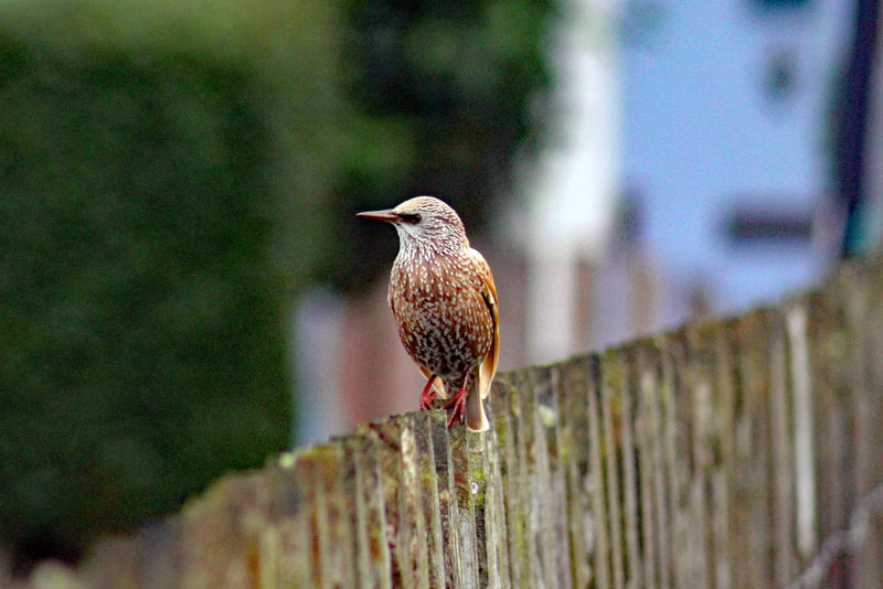
Leusistic Starling
Oh my, some birds loves to hang out on strange places. Like this Snow Bunting. We have to look for this gorgeous bird at a golf course in "Newquay". Hahaha... We also saw a Leucistic Startling by the carpark.
Virtual Bird-watching in "Carnewas and Bedruthan Steps"
Cornish Choughs
This place is definitely at the top of my list of favourite places in Cornwall. "Carnewas and Bedruthan Steps" is another one of my most visited spots. We come here almost every week. The majestic and rugged Cornish coastline at it's best. The view is just spectacular and loads of amazing wildlife around.
Carnewas and Bedruthan Steps (Cornish: Karn Havos, meaning "rock-pile of summer dwelling" and Cornish: Bos Rudhen, meaning "Red-one's dwelling") is a stretch of coastline located on the north Cornish coast.
The section of coastline from Carnewas to Stepper Point is part of the Cornwall Area of Outstanding Natural Beauty and subject to special landscape protection. In addition, Bedruthan Steps and Park Head is an 80.8-hectare (200-acre) Site of Special Scientific Interest, designated for its geological and biological interest. It is noted for its slates and fossils from the Middle Devonian period, various mosses, and beetles. Bedruthan Steps is also a Geological Conservation Review site because it is a ″source of rare fish specimens″, which were first reported in 1848 by W Pengelly.
The bedrock at Bedruthan Steps is at the northenmost extent of a series of sedimentary rocks classified as sandsone, siltstone and mudstone and known as the Bedruthan Formation. The underlying rock from Bedruthan Steps to Trevose Head is Middle Devonian slates (386–377 Mya) with Staddon Grits to the south towards Trenance Point. The thickness of the slates have been estimated at over 2,000 m (6,600 ft). Marine erosion by the sea carrying sand and pebbles has worn away the weaker, softer rocks to leave the stacks seen today. Fossils of fish, corals, trilobites, etc. have been found in the Eifelian slates on Samaritan and Pendarves Islands. Few fossils are useful for dating here, but one (although considered to be problematical) Pteroconus mirus dates the formations to the Eifelian. At the end of the headland of Park Head is a subvolcanic rock, Diabase.
In 2014, the area was granted "Dark Sky" status by the Science and Technology Facilities Council. Dark Sky discovery sites must be free from light pollution and have good views of stars and the Milky Way, and be accessible to the public.
Virtual Bird-watching in "Porth Reservoir"
Great Crested Grebe
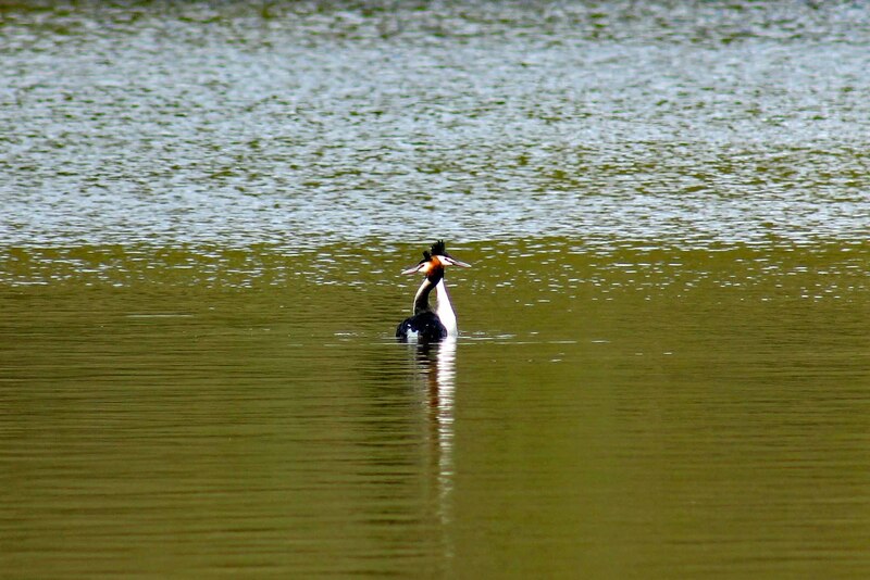
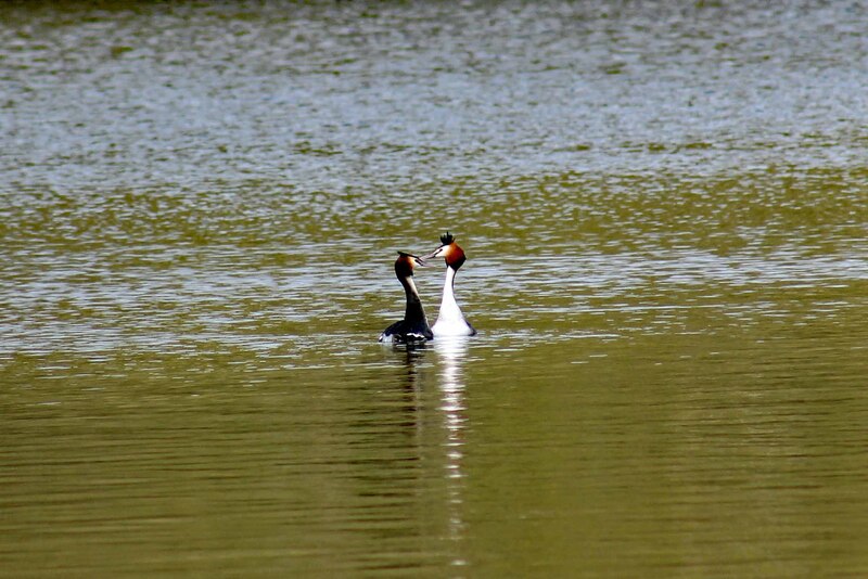
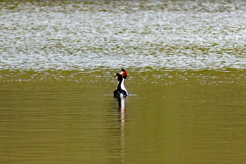
It's really enjoyable to watch the Great Crested Grebe doing their elaborate mating display in "Porth Reservoir".
The Great Crested Grebe (Podiceps cristatus) is a member of the grebe family of water birds noted for its elaborate mating display. The great crested grebe is the largest member of the grebe family found in the Old World, with some larger species residing in the Americas.
The Great Crested Grebe (Podiceps cristatus) is a member of the grebe family of water birds noted for its elaborate mating display. The great crested grebe is the largest member of the grebe family found in the Old World, with some larger species residing in the Americas.
Virtual Bird-watching in "Camel Trail and Estuary"
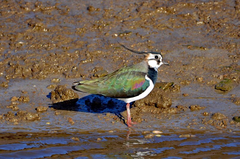
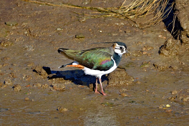
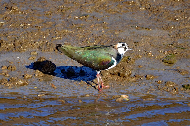
Cycling, walking and birdwatching: 3 in one at "Camel Trail and Estuary". So delighted to see hundreds of this gorgeous and colourful Lapwings from one of our visits.
The Camel Estuary has been designated an Area of Outstanding Natural Beauty (AONB), covering the area between Padstow/Rock and Wadebridge. The estuary comprises part of the Cornwall Area of Outstanding Natural Beauty.
The Camel Estuary has been designated an Area of Outstanding Natural Beauty (AONB), covering the area between Padstow/Rock and Wadebridge. The estuary comprises part of the Cornwall Area of Outstanding Natural Beauty.
Virtual Bird-watching in "Walmsley Sanctuary"
Cattle Egret
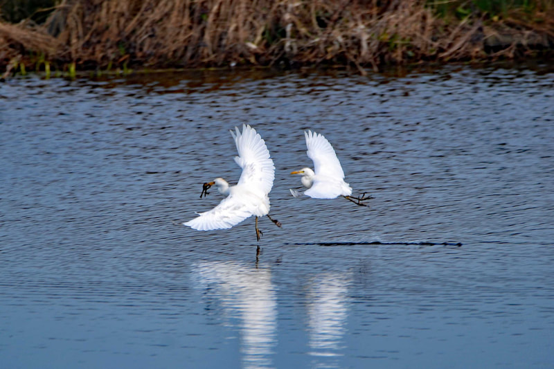
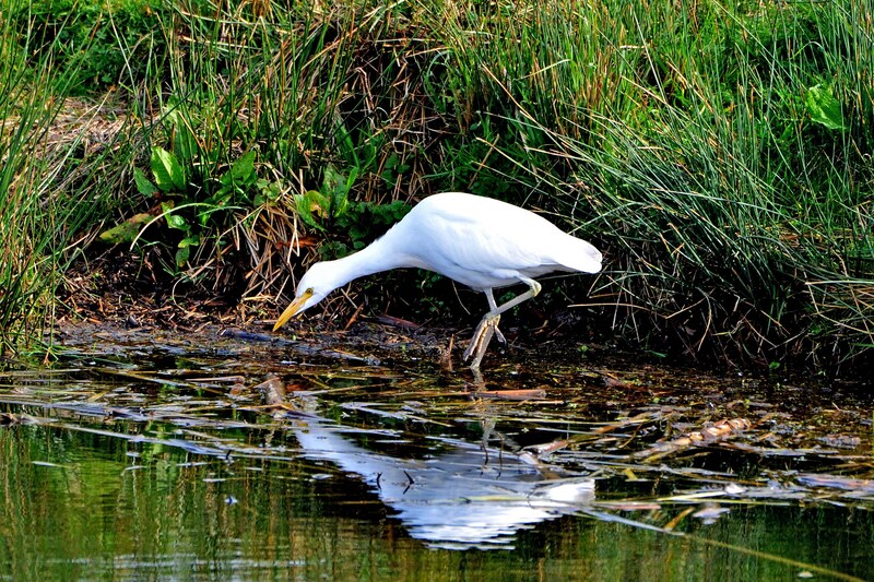
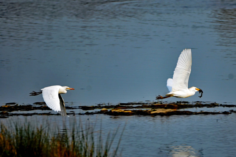
Whenever I hear a sighting of a Cattle Egret somewhere, I go and see them. I love these gorgeous birds. The best place I've seen them was in "Walmsley Sanctuary". We've seen more that 50++. I'm so delighted to see them flying around and catching frogs.
Walmsley Sanctuary includes over 20 hectares of reclaimed flood plain between the farm of Lower Amble and the River Amble. Its highest point is about four metres above the Ordnance Datum.
Walmsley Sanctuary includes over 20 hectares of reclaimed flood plain between the farm of Lower Amble and the River Amble. Its highest point is about four metres above the Ordnance Datum.
Virtual Bird-watching in "The Rumps"
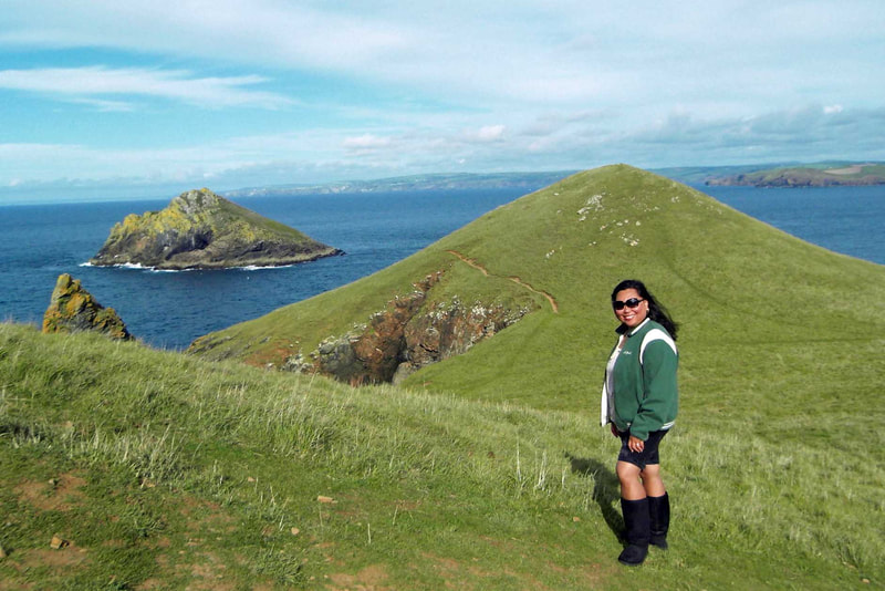
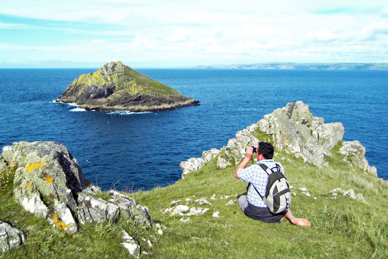
The rugged and majestic cliffs at "The Rumps" is just spectacular. The Cornish coastline at its best. Very scenic and picturesque. It's a long walk but it's all worth it. I saw my first Puffin here although I was not able to take a photo coz it's far off the sea. We even saw the Cornish Choughs here at one time. This place is another one of my favourites. Rain or shine, we're here.
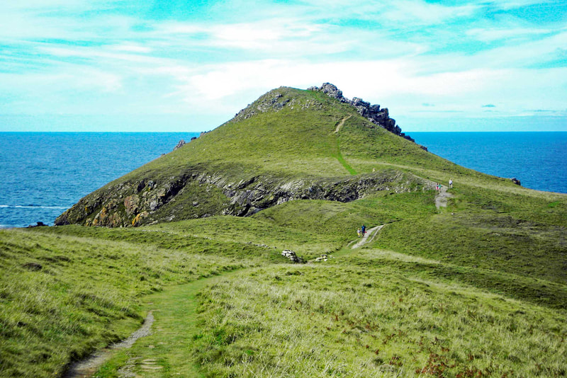
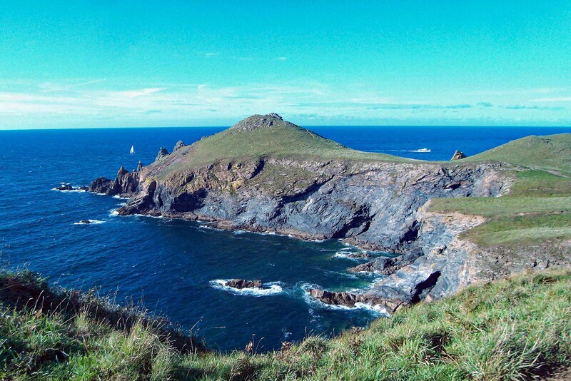
The Rumps (Cornish: Din Pentir, meaning fort at Pentire) is a twin-headland promontory at the north-east corner of Pentire Head.
The promontory is formed from hard basaltic rock and projects north into the Atlantic Ocean. Its headlands lie east-to-west. A small offshore island named The Mouls lies off the eastern headland; the western headland is named Rumps Point.
The Rumps is the site of an Iron Age promontory fort. The fort was the subject of an archaeological survey and the findings were published in 1974 in Cornish Archaeology, 13, pp 5-50. The twin headlands are linked to the mainland by a narrow neck making The Rumps a formidably defensive site.
Three ramparts (banks and ditches) span the narrowest part of the promontory. These date from the late Iron Age and were once topped by wooden palisades; the earthworks remain clearly visible to walkers.
The poet Laurence Binyon wrote For the Fallen in 1914 while sitting on the cliffs between Pentire Point and The Rumps. A stone plaque was erected at the spot in 2001 to commemorate the fact. The plaque bears an inscription which reads For The Fallen composed on these cliffs 1914 and quotes the stanza popularly known as The Ode.
Virtual Bird-watching in "Davidstow Airfield"
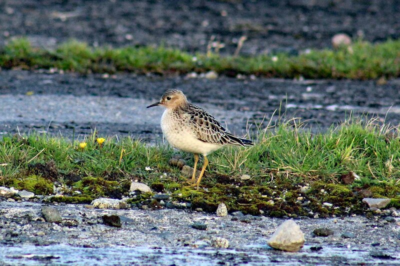
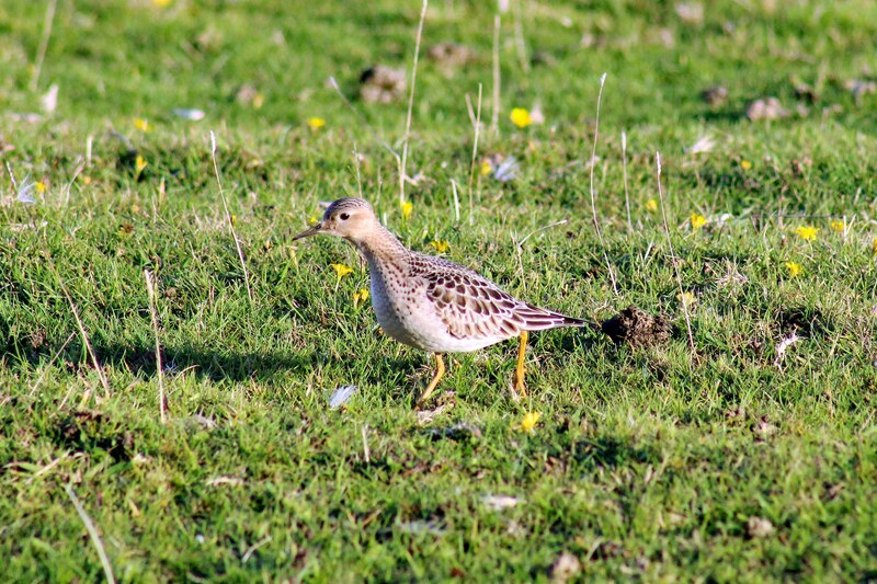
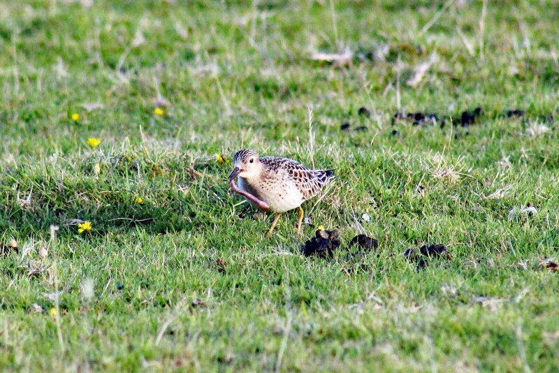
Buff-breasted Sandpiper
It's really fascinating that a few migrant birds hangs out in "Davidstow Airfield" like this lovely Buff-breasted Sandpiper.
RAF Davidstow Moor closed in December 1945 at the end of World War II and many of the buildings including the hangars were soon removed. It became a motor racing circuit, known as Davidstow Circuit and in the early 1950s three Formula One races were held there (the Cornwall MRC Formula 1 Races) including the first success for the Lotus marque.
RAF Davidstow Moor closed in December 1945 at the end of World War II and many of the buildings including the hangars were soon removed. It became a motor racing circuit, known as Davidstow Circuit and in the early 1950s three Formula One races were held there (the Cornwall MRC Formula 1 Races) including the first success for the Lotus marque.
Virtual Bird-watching in "Garrow Tor"
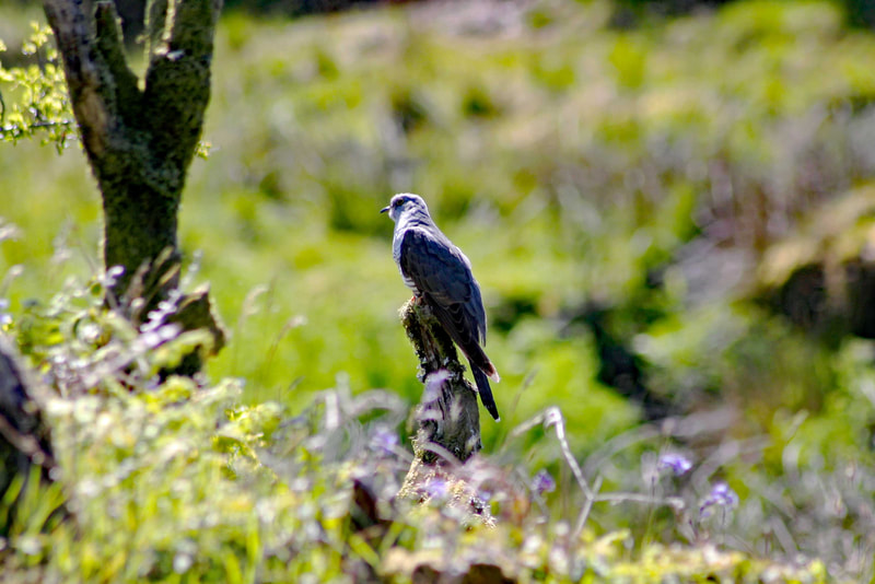
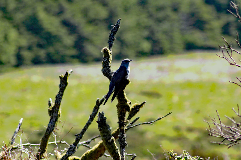
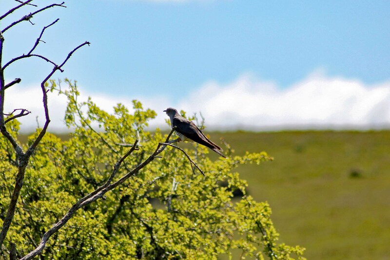
Cuckoo
I love going to the moors. So peaceful and quiet. One of my favourites is "Garrow Tor". Great place for birdwatching. Loads of Cuckoos around.
Garrow Tor is a bare, tor-crowned hill, 330 metres (1,080 ft) high, located on Garrow Downs in the northwest of Bodmin Moor.
At the summit of Garrow Tor are granite rock outcrops and panoramic views, including Caradon Hill to the south, Rough Tor and Brown Willy to the north, Butter's Tor to the east, clay country to the west and the Atlantic Ocean to the northwest. The hill also bears extensive evidence of early settlement, including a massive stone hedge, Bronze Age settlements and hut circles and Medieval settlements.
Virtual Bird-watching in "Rough Tor"
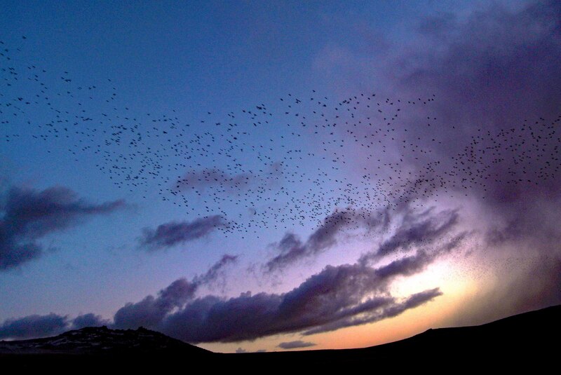
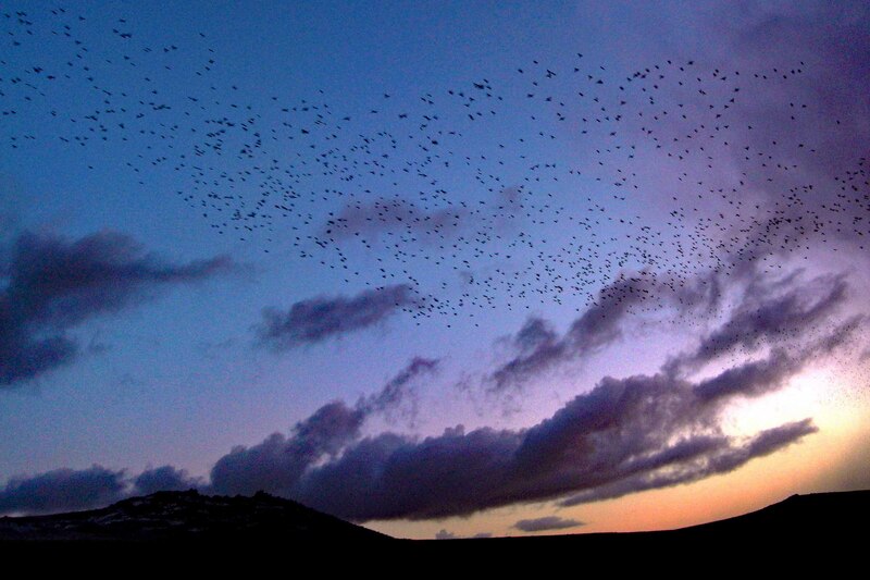
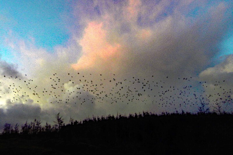
Starling Murmuration
I'm really pleased and delighted that I have hike many times to "Rough Tor", Bodmin Moor's second highest summit. It's really amazing to witness the "Starling Murmuration", a swooping mass of thousands of starlings whirling and dancing in the sky above.
Rough Tor (/ˈraʊtər/), or Roughtor, is a tor on Bodmin Moor. The site is composed of the tor summit and logan stone, a neolithic tor enclosure, a large number of Bronze Age hut circles, and some contemporary monuments. In the 19th-century the hill was known as Router.
The summit of Rough Tor once had a neolithic tor enclosure. The summit is encircled by a series of rough stone walls that align with natural stone outcroppings on the tor. The walls would have originally completely encircled the tor. The walls would have had numerous stone lined openings. In the interior of the circle, there are remains of terraces levelled into the slopes, which archaeologists believe formed the foundations of circular wooden houses. There are also cleared areas near the terraces that have been garden plots.
The Rough Tor enclosure is located in an area containing a remarkable concentration of upstanding monuments and other Bronze Age sites, such as Fernacre stone circle, which is only 200 metres from the site. Stannon stone circle is also located nearby, and there are numerous cairns and burial monuments in the vicinity.
On the southern slopes of Rough Tor, there are the remains of a large number of stone hut circles, set around three or four enclosures that may have held stock. There are also the remains of a large field system, which is partially overlain with a medieval field system. The purpose of this field system has been debated, with historians disagreeing as to whether the fields were used for cereals or for stock.
The summit of the tor was once the site of a medieval chapel, which was built into the side of one of the cairns, and was dedicated to St. Michael. The chapel was recorded in the 14th century, and is the only known hilltop chapel on Bodmin Moor. As it overlooks an ancient trackway across the moor, it may have served as a guide for travellers. There are remains of a second medieval building at the bottom of the summit and a beacon may have been maintained here or at the summit by a hermit.
A medieval field system based on straight lines overlays the Bronze Age field system at Rough Tor, and several medieval artifacts have been found in the area, such as the base for a stone cross, and a small stone cross.
Virtual Bird-watching in "Ruan Lanihorne"
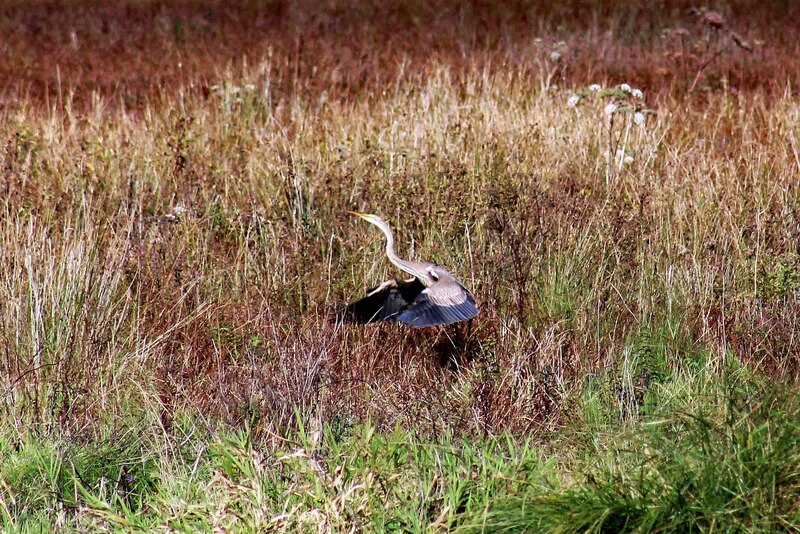
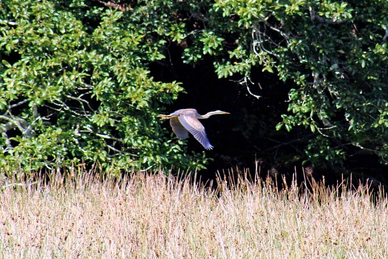
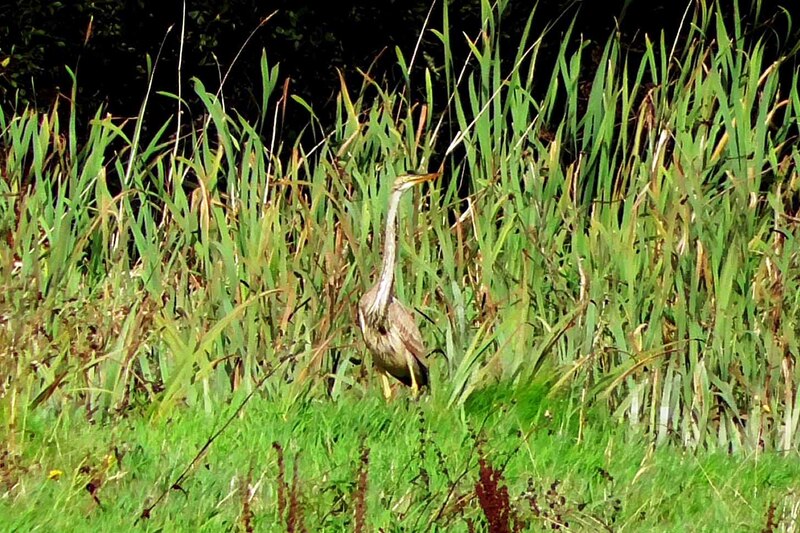
Purple Heron
So delighted to see the Purple Heron in "Ruan Lanihorne". It was there for a few days.
Ruan Lanihorne lies within the Cornwall Area of Outstanding Natural Beauty (AONB).
Ruan Lanihorne straddles a leafy lane which was once the old coach road from Penzance to London. "Ruan" refers to St Ruan or Rumon, patron saint of the local church which dates from 1321. It is built of local grey killas slate stone and is gothic in style.
In 1334 Edward III granted the Norman Lord - Johann l’Arcedekne a licence to fortify and crenellate his house at Lanyhorn. The completed castle comprised a round keep with seven recorded towers. The last tower was pulled down in Victorian times and the stone used for building leaving no visible remains.
The once navigable creek here is now birdwatcher’s heaven as the silt provides a haven for waders and waterfowl. Fantastic countryside and amazing river vistas abound round here and many a lovely walk can be had in riverside and woodland between here and Tregony.
Virtual Bird-watching in "Killigerran Head"
Cornish Choughs
In 2013, we saw a pair of Cornish Choughs in "Killigerran Head" on the Roseland Peninsula. From that time on, we come here almost everyday to see them as well as to feast our eyes with the spectacular view. This place is really rich in amazing flora and fauna.
In 1584 map maker John Norden wrote, the peninsula is called by the pretty name of Roseland, being derived from Rhos, the Celtic word for heath or gorse. He goes on to say that, "Roseland is a circuit of land lying between the creek of Falmouth haven and the sea."
In 1584 map maker John Norden wrote, the peninsula is called by the pretty name of Roseland, being derived from Rhos, the Celtic word for heath or gorse. He goes on to say that, "Roseland is a circuit of land lying between the creek of Falmouth haven and the sea."
Virtual Bird-watching in "Carne/Pendower Beach"
Cornish Choughs
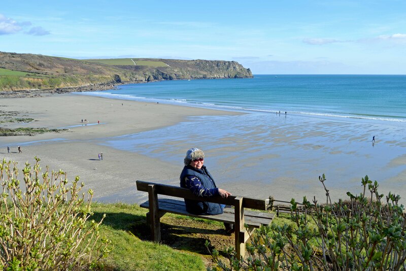
We have tracked the Cornish Choughs from Killigerran Head to "Carne/Pendower Beach" on the Roseland Peninsula. I'm really ecstatic to see them here as this is one of my favourite beaches in Cornwall. Sooo beautiful most especially in autumn and winter when it's serenely peaceful and quiet.
Gerrans Bay is a Site of Specific Scientific Interest (SSSI) noted for both its biological and geological features.
450 million years ago the Roseland was submerged and close to the South Pole. It was not until 350 million years ago that the Roseland became an island and later part of a large area. 150 million years after that the Roseland had submerged again but it was not long (25 million years later) before it had once again become an island. It was roughly 65 million years ago when the Roseland became part of mainland Cornwall and the UK. Over this period, due to tectonic plate movements, intense mountain building, volcanic eruptions and erosion, the Roseland had gained a great diversity of geology. The area is made up of sandstone, volcanic basalt, weakly metamorphic rock, claystone, mudstone, quartzites and rare limestone. Unusually for Cornwall, the Roseland has very little granite. Some marine fossil impressions have been found in quartzite at Pendower beach. Trilobites and brachiopods have also been found in Roseland quartzites. The pebbled areas in the cliffs are a raised beach of worn pebbles and sand cemented together by iron and manganese on a eroded platform of Devonian slates and shales. There is also a submerged forest.
Virtual Bird-watching at "The Quaterdeck in The Nare Hotel"
Cornish Choughs
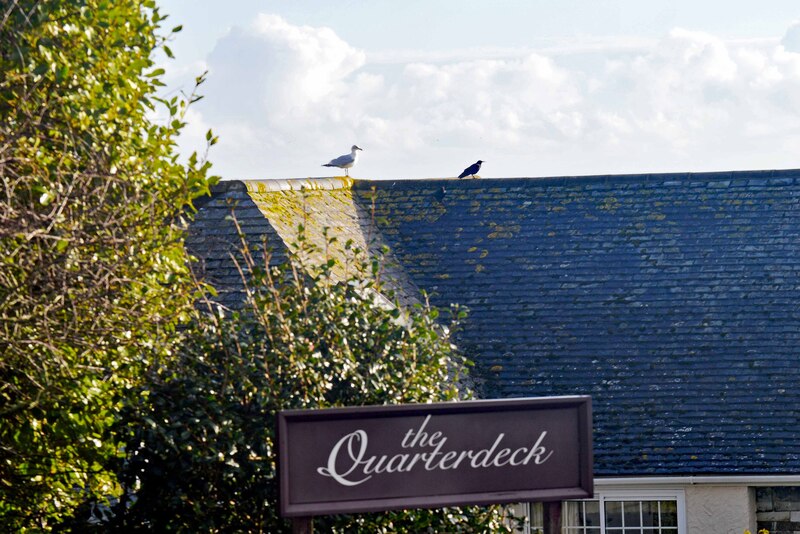
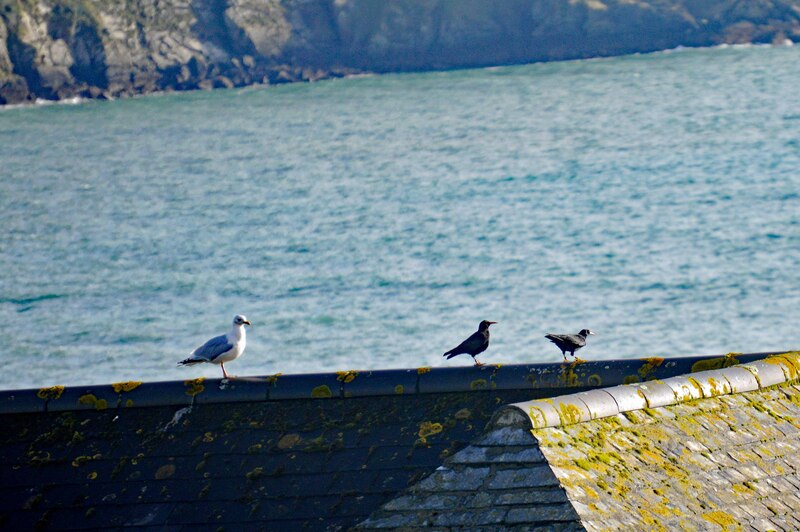
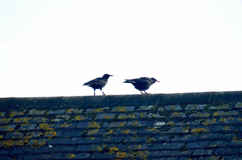
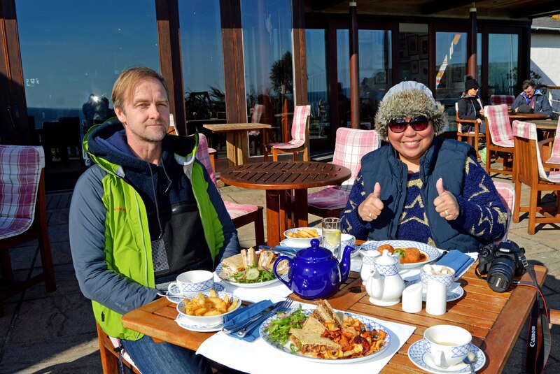
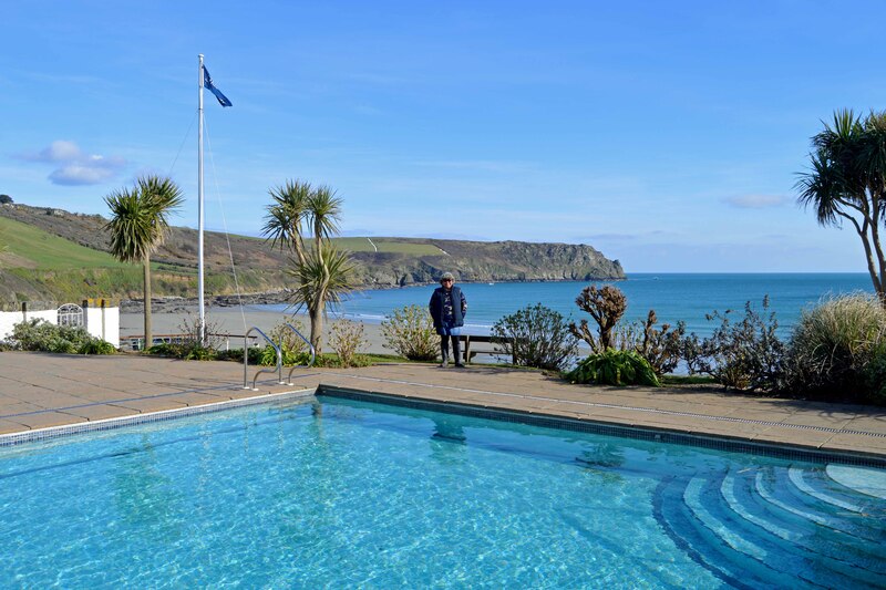
It's always great to have a relaxing and enjoyable meal or afternoon tea at "The Quarterdeck" in "The Nare Hotel" after all that excitement from seeing the Cornish Choughs in Carne/Pendower Beach. But who would have thought that the Cornish Choughs will be following us and decided to hang out on the roof of "The Quarterdeck" in "The Nare Hotel" too. Made eating more delightful.
Virtual Bird-watching in "Nare Head"
Cornish Choughs
Watching the Cornish Choughs, eating a Cornish Pasty and feasting my eyes on the spectacular Cornish coast in "Nare Head".
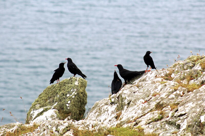
We first saw the pair of Cornish Choughs in Killigerran Head in 2013. Followed them in Carne/Pendower Beach. And they end up nesting in Nare Head. The female disappeared but a new one arrived in 2015. In 2016, the one year old female breeds and fledged 3 Chouglings. That's really amazing. The Cornish Choughs had once again breeds in the Roseland area, probably the first time they have done so since the 1820s and with a one year old female. So lucky I was able to watched them for a few years till they breed and managed to have a photograph of this Roseland family of Cornish Choughs.
Gerrans Bay to Camels Cove is a coastal Site of Special Scientific Interest (SSSI) noted for both its biological and geological interest. The South West Coast Path runs through the SSSI and most of the coastline is owned by the National Trust. The site lies within the Cornwall Area of Outstanding Natural Beauty (AONB). The site is an amalgamation of two previous SSSIs; Gerrans Bay to Nare Head SSSI and Camels Cove SSSI.
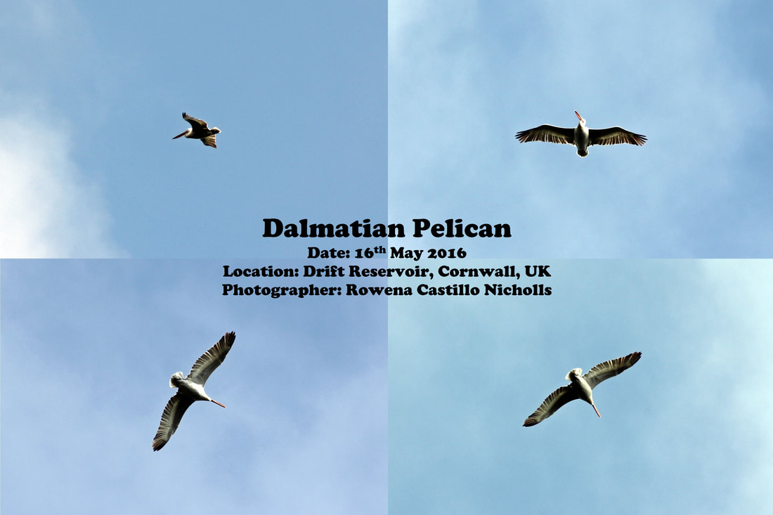
Virtual Bird-watching in "Drift Reservoir"
Dalmatian Pelican
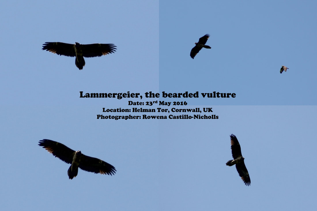
Virtual Bird-watching in "Brenney Common"
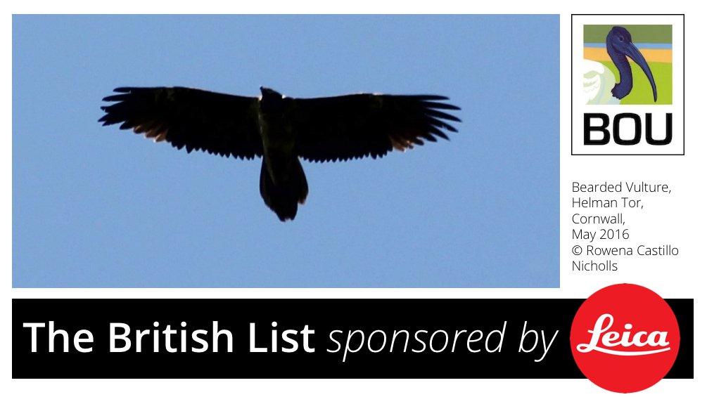
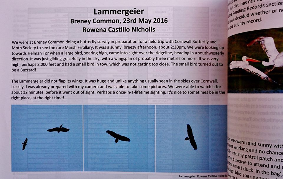
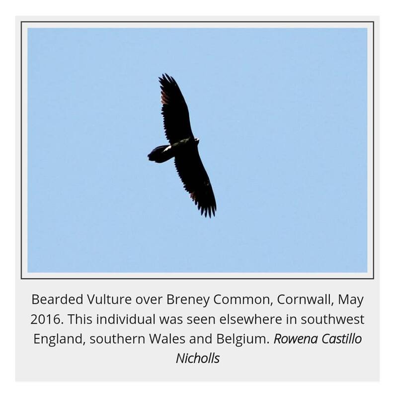
Lammergeier, the Bearded Vulture
